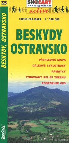
Beskydy Ostravsko Tourist Map
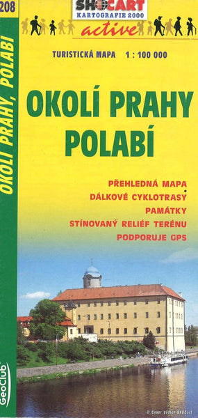
This map offers complete coverage of Okolí Prahy Polabí. Full topographic information with additional tourist information such as shaded relief, hiking trails, biking trails, historical sites, etc. Trilingual legend in Czech, English, German.
GPS coordinates - UTM grid (WGS84) and latitude/longitude tick marks
Tourist paths for both hiking and bicycling
Tourist sites and services
- Product Number: SHOC_223_BESK_4
- Reference Product Number: 2298371M
- ISBN: 9788072242658
- Date of Publication: 6/1/2004
- Folded Size: 9.06 inches high by 3.94 inches wide
- Unfolded (flat) Size: 25.98 inches high by 17.72 inches wide
- Map format: Folded
- Map type: Trade Maps - Road
- Geographical region: Czechia

