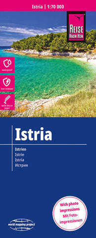
Istria Regional Map
The Istrian Peninsula at a scale of 1:70,000 printed on rip and Waterproof paper, a folded map
The map includes roads and tracks and footpaths
Contours at 50m plus height shading and spot heights
Place name index
Places of Interest
- Product Number: RKH_ISTRIA_22
- Reference Product Number: - None -
- ISBN: 9783831774449
- Date of Publication: 6/1/2022
- Folded Size: 10.24 inches high by 4.72 inches wide
- Unfolded (flat) Size: 27.56 inches high by 39.37 inches wide
- Map format: Folded
- Map type: Trade Maps - Road
- Geographical region: Croatia

