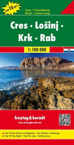
Cres - Lošinj - Krk - Rab, road map 1:100,000, Top 10 Tips
The northern part of the Dalmatian Coast of Croatia from Opatija and Rijeka to, on the mainland, beyond Jablanac on a detailed, indexed map at 1:100,000 from Freytag & Berndt, with the regions to 10 best sights given multilingual descriptions in a booklet attached to the map cover, plus a street plan of central Rijeka. Coverage includes the islands of Cres, Losinj, Krk, Rab, and the northern part of Pag, plus the nearby smaller islands.
Topography is well presented by contours 50m intervals, enhanced by relief shading and numerous stop heights. Road network highlights scenic roads and indicates specially designated tourist routes. Also highlighted are cycle routes and selected mountain bike trails. The map also shows ferry connections. Icons mark various facilities such as campsites, beaches and marinas; interesting locations are highlighted, with the region’s 10 best sights cross-referenced to their multilingual descriptions provided in the index booklet attached to the map co
- Product Number: FB_CRES_22
- Reference Product Number: - None -
- ISBN: 9783707916485
- Date of Publication: 3/22/2022
- Folded Size: 10.02 inches high by 5.11 inches wide
- Unfolded (flat) Size: 10.02 inches high by 5.11 inches wide
- Map format: Folded
- Map type: Trade Maps - Road
- Geographical region: Croatia