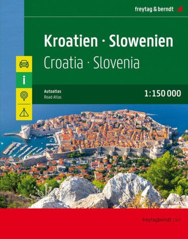
Croatia - Slovenia, road atlas 1:150,000
Road Atlas of Croatia and Slovenia from Freytag & Berndt with detailed mapping of both countries at 1:150,000, street plans of city centres in 18 main towns, plus road mapping of the whole of Europe at 1:3,500,000.
Each country is presented separately, followed by the street plans and an index listing localities with their post codes (for most locations in Croatia and all in Slovenia). The maps have relief shading with spot heights to show the topography, with names of mountain and hill ranges, etc. National parks and protected areas are marked.
Road network includes small local roads and cart tracks and indicates toll routes, seasonal closures, roads closed to or not recommended for caravans, motorway services, gradients, etc. Scenic roads and special tourist routes are highlighted.
Railways are shown with stations and along the Adriatic coast ferry connections are marked. Also shown are long-distance hiking trails.
Picturesque towns and villages and other
- Product Number: FB_CRO_SLO_AT_20
- Reference Product Number: - None -
- ISBN: 9783707918441
- Date of Publication: 9/30/2020
- Folded Size: 11.67 inches high by 9.04 inches wide
- Unfolded (flat) Size: 11.67 inches high by 9.04 inches wide
- Map format: - None -
- Map type: Atlases - Popular/Travel
- Geographical region: Croatia,Slovenia