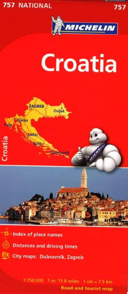
Croatia Road Map
Croatia on an indexed, double-sided map from Reise Know-How, printed on light, waterproof and tear-resistant synthetic paper. The country is shown on three panels designed to provide convenient coverage of its most visited part, the Adriatic Coast. The map, part of the publishers’ highly acclaimed World Mapping Project, presents the coastal regions of Croatia at 1:300,000 spread across both sides of the sheet, with a good overlap and the mapping tilted so that the coastline stretches horizontally. The inland part of Croatia is added as an inset at 1:700,000 – please see the coverage image.
Light altitude colouring with names of mountain ranges, peaks, etc, shows the topography; national parks and protected areas are highlighted. Road network, clearly visible against the background, includes local roads and selected tracks, and indicates routes closed to motorized traffic. Driving distances are marked on many smaller roads. Railway lines are shown with stations; ferry links alon
- Product Number: RKH_CRO_23
- Reference Product Number: - None -
- ISBN: 9783831773435
- Date of Publication: 6/1/2023
- Folded Size: 10.24 inches high by 4.72 inches wide
- Unfolded (flat) Size: 39.37 inches high by 27.56 inches wide
- Map format: Folded
- Map type: Trade Maps - Road
- Geographical region: Croatia