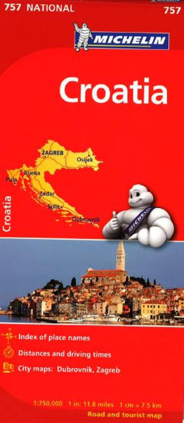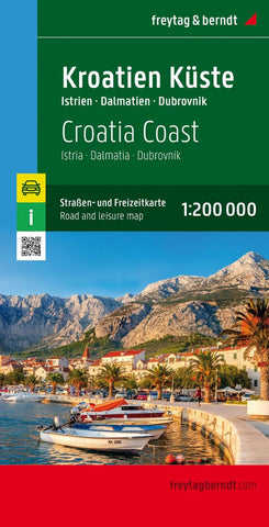
Croatia coast, road and leisure map 1:200,000
One of two large, double-sided detailed road maps, with very clear cartography, subtle relief shading and spot heights indicating the terrain. Road information includes scenic routes, toll roads, traffic restrictions and seasonal closures, etc. Places of interest are highlighted and the maps also show ferry connections on the Dalmatian coast. A grid in steps of 15 shows latitude and longitude. Map legend includes English.
- Product Number: FB_CRO_COAST_23
- Reference Product Number: - None -
- ISBN: 9783707922011
- Date of Publication: 2/28/2023
- Folded Size: 10.02 inches high by 5.11 inches wide
- Unfolded (flat) Size: 10.02 inches high by 5.11 inches wide
- Map format: Folded
- Map type: Trade Maps - Road
- Geographical region: Croatia

