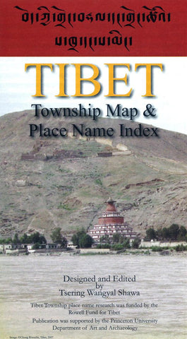
Tibet: Township Map and Place Name Index by Tsering Wangyal Shawa
The Tibet Township map and place name index is based on the 2000 Chinese township population census data. The map and place name index includes all the townships that are within the Tibet Autonomous Region, Tibetan Autonomous Prefectures and Counties in Qinghai, Sichuan, Yunnan, and Gansu. It also includes Tsoshar (Haidong Prefecture) and Xining, a prefecture-level city, in Qinghai because they have large Tibetan populations. The international boundaries are based on
actual lines of control rather than claimed territories.
The Township place name index is written in three scripts: Tibetan, Chinese, and English as well as in Pinyin (Romanization standard for Chinese script), Wylie (standard transliteration of Tibetan script in scholarly literature in the English world), and the phonetic Tibetan for a general user to sound out Tibetan town names.
The goals of this map and place name index are to capture as many place names that were and are Tibetan names as possible. There are number of townships for which I could not find Tibetan names, and some of them may not have Tibetan names. Those town names were written in Tibetan script, but using the approximate phonetic of their name written in Chinese script. Each township name is listed with the townships average elevation, total Tibetan population, percentage of Tibetans living in each township, and whether the origin of the place name is Tibetan, Mongolian, or Chinese.
- Product Number: 2172763M
- Product Code: TWS_TIBET
- ISBN: 9780692292921
- Year of Publication: 2014
- Folded Size: 9.84 x 5.910 inches
- Unfolded Size: 28.74 x 50.390 inches
- Map type: Folded Map
- Geographical region: China