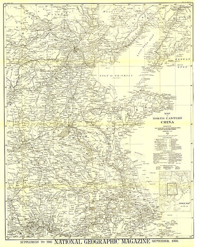
1900 Map of North Eastern China
The first map of China printed by National Geographic, this historic black and white map is a true collectors item. Published in September 1900, it features translations of common terms and items of note such as the Great Wall and imperial tomb sites.
- Product Number: PODHNG_CHI_NE_00
- Reference Product Number: 2321351M
- ISBN: - None -
- Date of Publication: 6/1/1900
- Unfolded (flat) Size: 37.25 inches high by 29.75 inches wide
- Map format: Wall
- Map type: Trade Maps - Political
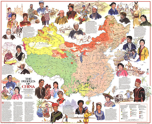
- Geographical region: China