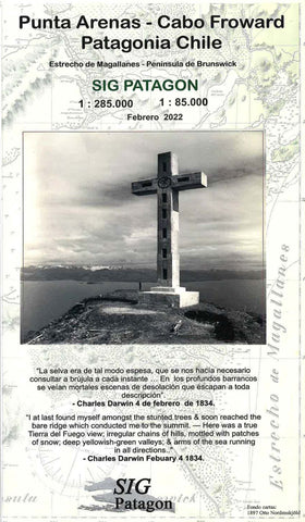
Punta Arenas : Peninsula de Brunswick : Estrecho de Magallanes - Cabo Froward
Punta Arenas and the Brunswick Peninsula on a light, waterproof and tear-resistant, GPS-compatible map from SIG Patagon. On one side the whole Brunswick Peninsula with the adjoining islands is shown at 1:285,000. Topography is well presented by contours and spot heights, with boundaries of the protected areas. The map shows local roads and tracks, and symbols indicate locations with tourist facilities, sites for trekking and watching local fauna, etc. Also marked are ferry routes in the Magellan Straights, including to Porvenir on the Chilean part of the Tierra del Fuego. The map has a UTM grid, plus latitude and longitude margin ticks at 30’.
On the reverse the eastern coast of the peninsula, between Punta Arenas and Cabo Froward, is shown in greater detail at 1:85,000 with contour lines at 50m intervals and more tourist facilities. This side also has a UTM grid plus margin tick at 10’, with GPS waypoints listed for nine locations. Map legend is in Spanish only. Current edition
- Product Number: SIG_ARENAS_22
- Reference Product Number: - None -
- ISBN: 9789563980363
- Date of Publication: 6/1/2022
- Folded Size: 9.84 inches high by 5.91 inches wide
- Unfolded (flat) Size: 19.69 inches high by 28.35 inches wide
- Map format: Folded
- Map type: Trade Maps - Outdoor Recreation Maps
- Geographical region: Chile