
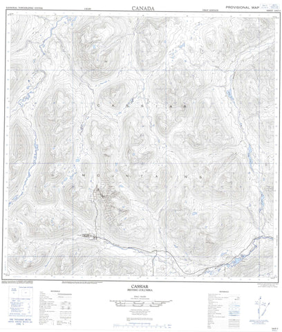
104P05 Cassiar Canada topo map, 1:50,000 scale
104P05 Cassiar NRCAN topographic map.
Includes UTM and GPS geographic coordinates (latitude and longitude). This 50k scale map is suitable for hiking, camping, and exploring, or you could frame it as a wall map.
Printed on-demand using high resolution, on heavy weight and acid free paper, or as an upgrade on a variety of synthetic materials.
Topos available on paper, Waterproof, Poly, or Tyvek. Usually shipping rolled, unless combined with other folded maps in one order.
- Product Number: NRCAN-104P05
- Parent Topo: TOPO-104P
- Map ID also known as: 104P05, 104P5
- Unfolded Size: Approximately 26" high by 36" wide
- Weight (paper map): ca. 55 grams
- Map Type: POD NRCAN Topographic Map
- Map Scale: 1:50,000
- Geographical region: British Columbia, Canada
Neighboring Maps:
All neighboring Canadian topo maps are available for sale online at 1:50,000 scale.
Purchase the smaller scale map covering this area: Topo-104P
Spatial coverage:
Topo map sheet 104P05 Cassiar covers the following places:
- Allan Lake - Gallic Lake - Hot Lake - Long Lake - Cassiar Mountains - Limestone Peak - Mount McDame - Stikine Ranges - Zus Mountain - Blue River - Deepline Creek - Finlayson Creek - French Creek - French River - Hot Creek - Little Blue River - Marble Creek - McDame Creek - North Troutline Creek - Placer Creek - Quartzrock Creek - Rosella Creek - Snowy Creek - Troutline Creek - Cassiar - Jade City - Quartz Mining Camp - Cariboo Pass


