
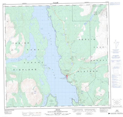
104N12 Atlin Canada topo map, 1:50,000 scale
104N12 Atlin NRCAN topographic map.
Includes UTM and GPS geographic coordinates (latitude and longitude). This 50k scale map is suitable for hiking, camping, and exploring, or you could frame it as a wall map.
Printed on-demand using high resolution, on heavy weight and acid free paper, or as an upgrade on a variety of synthetic materials.
Topos available on paper, Waterproof, Poly, or Tyvek. Usually shipping rolled, unless combined with other folded maps in one order.
- Product Number: NRCAN-104N12
- Parent Topo: TOPO-104N
- Map ID also known as: 104N12
- Unfolded Size: Approximately 26" high by 36" wide
- Weight (paper map): ca. 55 grams
- Map Type: POD NRCAN Topographic Map
- Map Scale: 1:50,000
- Geographical region: British Columbia, Canada
Neighboring Maps:
All neighboring Canadian topo maps are available for sale online at 1:50,000 scale.
Purchase the smaller scale map covering this area: Topo-104N
Spatial coverage:
Topo map sheet 104N12 Atlin covers the following places:
- Burnt Creek Bay - Deep Bay - Eight Mile Bay - Five Mile Bay - Fourth of July Bay - Graham Inlet - Ruffner Bay - Safety Cove - Scotia Bay - Scow Bay - Telegraph Bay - Eight Mile Point - Five Mile Point - Sand Point - Torres Channel - Alkhili Indian Reserve 2 - Atlin-Teslin Indian Cemetery Indian Reserve 4 - Five Mile Point Indian Reserve 3 - McDonald Lake Indian Reserve 1 - Réserve indienne Alkhili 2 - Réserve indienne Atlin-Teslin Indian Cemetery 4 - Réserve indienne Five Mile Point 3 - Réserve indienne McDonald Lake 1 - Réserve indienne Unnamed 10 - Unnamed Indian Reserve 10 - Big Island - First Island - Red Island - Second Island - Teresa Island - Third Island - Atlin Lake - Como Lake - Davie Hall Lake - Elk Lake - Lower McDonald Lake - McDonald Lake - Moose Lake - North Lake - V Lake - Atlin Mountain - Lina Range - Monarch Mountain - Mount Munro - Table Mountain - Tagish Highland - Taku Mountain - Union Mountain - Atlin Park - Tarahne Park - Teslin Plateau - Atlin River - Blackbear Run Creek - Burnt Creek - Canyon Creek - Crater Creek - Dominion Creek - Eureka Creek - Fourth of July Creek - Lina Creek - Little Spruce Creek - Miller Creek - Pine Creek - Plateau Creek - Plumb Creek - Rose Creek - Spruce Creek - Telegraph Creek - Two John Creek - Vulcan Creek - Atlin - Discovery - Scotia Bay - Taku


