
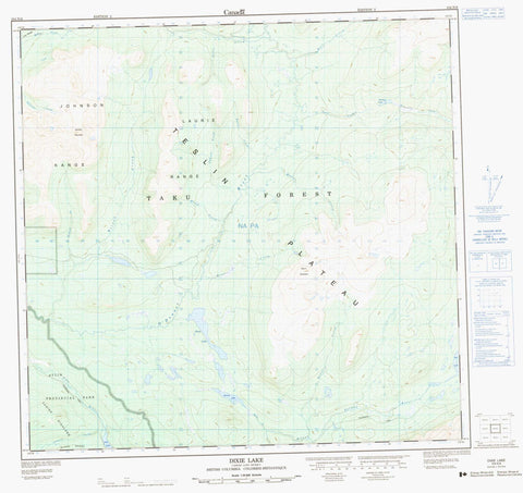
104N06 Dixie Lake Canada topo map, 1:50,000 scale
104N06 Dixie Lake NRCAN topographic map.
Includes UTM and GPS geographic coordinates (latitude and longitude). This 50k scale map is suitable for hiking, camping, and exploring, or you could frame it as a wall map.
Printed on-demand using high resolution, on heavy weight and acid free paper, or as an upgrade on a variety of synthetic materials.
Topos available on paper, Waterproof, Poly, or Tyvek. Usually shipping rolled, unless combined with other folded maps in one order.
- Product Number: NRCAN-104N06
- Parent Topo: TOPO-104N
- Map ID also known as: 104N06, 104N6
- Unfolded Size: Approximately 26" high by 36" wide
- Weight (paper map): ca. 55 grams
- Map Type: POD NRCAN Topographic Map
- Map Scale: 1:50,000
- Geographical region: British Columbia, Canada
Neighboring Maps:
All neighboring Canadian topo maps are available for sale online at 1:50,000 scale.
Purchase the smaller scale map covering this area: Topo-104N
Spatial coverage:
Topo map sheet 104N06 Dixie Lake covers the following places:
- Bell Lake - Dixie Lake - Pike Lake - Skeleton Lake - Tawina Lake - Johnson Range - Laurie Range - Lina Range - Mount McMaster - Sentinel Mountain - Tagish Highland - Atlin Park - Teslin Plateau - Baxter Creek - Blind Creek - Boyer Creek - Bull Creek - Bull Creek - Burdette Creek - Canyon Creek - Eldorado Creek - Fenn Creek - Fox Creek - Mahar Creek - McKee Creek - McLaren Creek - Nancy Creek - Noland Creek - O'Donnel River - Pike River - Silver Salmon River - Simpson Creek - Slate Creek - Stephenson Creek - Tawina Creek - Wilson Creek


