
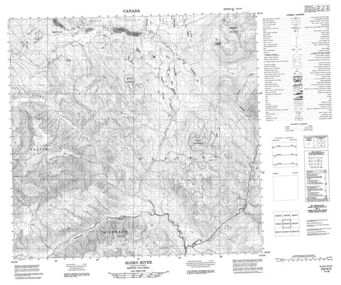
104N03 Sloko River Canada topo map, 1:50,000 scale
104N03 Sloko River NRCAN topographic map.
Includes UTM and GPS geographic coordinates (latitude and longitude). This 50k scale map is suitable for hiking, camping, and exploring, or you could frame it as a wall map.
Printed on-demand using high resolution, on heavy weight and acid free paper, or as an upgrade on a variety of synthetic materials.
Topos available on paper, Waterproof, Poly, or Tyvek. Usually shipping rolled, unless combined with other folded maps in one order.
- Product Number: NRCAN-104N03
- Parent Topo: TOPO-104N
- Map ID also known as: 104N03, 104N3
- Unfolded Size: Approximately 26" high by 36" wide
- Weight (paper map): ca. 55 grams
- Map Type: POD NRCAN Topographic Map
- Map Scale: 1:50,000
- Geographical region: British Columbia, Canada
Neighboring Maps:
All neighboring Canadian topo maps are available for sale online at 1:50,000 scale.
Purchase the smaller scale map covering this area: Topo-104N
Spatial coverage:
Topo map sheet 104N03 Sloko River covers the following places:
- Réserve indienne Silver Salmon Lake 5 - Réserve indienne Taku 6 - Silver Salmon Lake Indian Reserve 5 - Taku Indian Reserve 6 - Kuthai Lake - Pike Lake - Sheard Lake - Boundary Ranges - Chikoida Mountain - Focus Mountain - Mount O'Keefe - Sloko Range - Tagish Highland - Atlin Park - Taku Plateau - Teslin Plateau - Gold Bottom Creek - Katina Creek - Nakina River - Nakonake River - Silver Salmon River - Sloko River


