
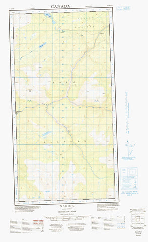
104N02W Nakina Canada topo map, 1:50,000 scale
104N02W Nakina NRCAN topographic map.
Includes UTM and GPS geographic coordinates (latitude and longitude). This 50k scale map is suitable for hiking, camping, and exploring, or you could frame it as a wall map.
Printed on-demand using high resolution, on heavy weight and acid free paper, or as an upgrade on a variety of synthetic materials.
Topos available on paper, Waterproof, Poly, or Tyvek. Usually shipping rolled, unless combined with other folded maps in one order.
- Halfsheet: This map was designed as a half sheet of NRCAN-104N02, and it is the Western half. Find the eastern half sheet here.
- Product Number: NRCAN-104N02W
- Parent Topo: TOPO-104N
- Map ID also known as: 104N02, 104N2
- Unfolded Size: Approximately 26" high by 36" wide
- Weight (paper map): ca. 55 grams
- Map Type: POD NRCAN Topographic Map
- Map Scale: 1:50,000
- Geographical region: British Columbia, Canada
Neighboring Maps:
All neighboring Canadian topo maps are available for sale online at 1:50,000 scale.
Purchase the smaller scale map covering this area: Topo-104N
Spatial coverage:
Topo map sheet 104N02W Nakina covers the following places:
- Réserve indienne Taku 6 - Taku Indian Reserve 6 - Dry Lake - Katina Lake - Ruth Lake - Nimbus Mountain - Sinawa Eddy Mountain - Stikine Plateau - Taku Plateau - Teslin Plateau - Horsefeed Creek - Katina Creek - Nakina River - Taysen Creek - Yeth Creek - Nakina


