
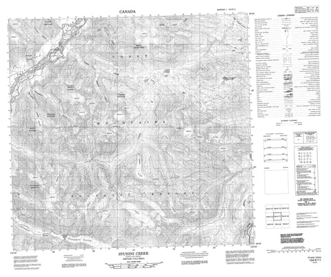
104K11 Stuhini Creek Canada topo map, 1:50,000 scale
104K11 Stuhini Creek NRCAN topographic map.
Includes UTM and GPS geographic coordinates (latitude and longitude). This 50k scale map is suitable for hiking, camping, and exploring, or you could frame it as a wall map.
Printed on-demand using high resolution, on heavy weight and acid free paper, or as an upgrade on a variety of synthetic materials.
Topos available on paper, Waterproof, Poly, or Tyvek. Usually shipping rolled, unless combined with other folded maps in one order.
- Product Number: NRCAN-104K11
- Parent Topo: TOPO-104K
- Map ID also known as: 104K11
- Unfolded Size: Approximately 26" high by 36" wide
- Weight (paper map): ca. 55 grams
- Map Type: POD NRCAN Topographic Map
- Map Scale: 1:50,000
- Geographical region: British Columbia, Canada
Neighboring Maps:
All neighboring Canadian topo maps are available for sale online at 1:50,000 scale.
Purchase the smaller scale map covering this area: Topo-104K
Spatial coverage:
Topo map sheet 104K11 Stuhini Creek covers the following places:
- Yellow Bluff - Sittakanay Glacier - Lisadele Lake - Boundary Ranges - Chaîne Côtière - Coast Mountains - Kwashona Mountain - Mount Ericksen - Mount Jeanne - Mount Lester Jones - Mount Metzgar - Niagara Mountain - Sittakanay Mountain - Tuskwa Mountain - Ericksen Creek - King Salmon Creek - Kwashona Creek - Lester Jones Creek - Morepat Creek - Red Cap Creek - Sittakanay River - Stuhini Creek - Sutlahine River - Taku River - Tuskwa Creek - Zohini Creek


