
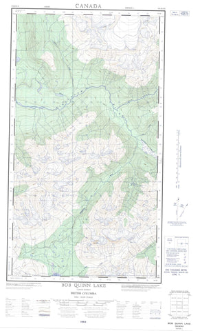
104B16E Bob Quinn Lake Canada topo map, 1:50,000 scale
104B16E Bob Quinn Lake NRCAN topographic map.
Includes UTM and GPS geographic coordinates (latitude and longitude). This 50k scale map is suitable for hiking, camping, and exploring, or you could frame it as a wall map.
Printed on-demand using high resolution, on heavy weight and acid free paper, or as an upgrade on a variety of synthetic materials.
Topos available on paper, Waterproof, Poly, or Tyvek. Usually shipping rolled, unless combined with other folded maps in one order.
- Halfsheet: This map was designed as a half sheet of NRCAN-104B16, and it is the Eastern half. Find the western half sheet here.
- Product Number: NRCAN-104B16E
- Parent Topo: TOPO-104B
- Map ID also known as: 104B16
- Unfolded Size: Approximately 26" high by 36" wide
- Weight (paper map): ca. 55 grams
- Map Type: POD NRCAN Topographic Map
- Map Scale: 1:50,000
- Geographical region: British Columbia, Canada
Neighboring Maps:
All neighboring Canadian topo maps are available for sale online at 1:50,000 scale.
Purchase the smaller scale map covering this area: Topo-104B
Spatial coverage:
Topo map sheet 104B16E Bob Quinn Lake covers the following places:
- Bob Quinn Lake - Bobquinn Lake - Désirée Lake - Echo Lake - Little Bob Quinn Lake - Quinn Lake - Snake Lake - Teigen Lake - Boundary Ranges - Coast Mountains - Regional District of Kitimat-Stikine - Ningunsaw Park - Alger Creek - Beaverpond Creek - Bob Quinn Creek - Devil Creek - Estshi Creek - Iskut River - Liz Creek - Ningunsaw River - Ogilvie Creek - Teigen Creek - Bob Quinn Lake


