
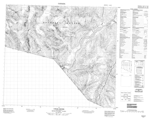
104B07 Unuk River Canada topo map, 1:50,000 scale
104B07 Unuk River NRCAN topographic map.
Includes UTM and GPS geographic coordinates (latitude and longitude). This 50k scale map is suitable for hiking, camping, and exploring, or you could frame it as a wall map.
Printed on-demand using high resolution, on heavy weight and acid free paper, or as an upgrade on a variety of synthetic materials.
Topos available on paper, Waterproof, Poly, or Tyvek. Usually shipping rolled, unless combined with other folded maps in one order.
- Product Number: NRCAN-104B07
- Parent Topo: TOPO-104B
- Map ID also known as: 104B07, 104B7
- Unfolded Size: Approximately 26" high by 36" wide
- Weight (paper map): ca. 55 grams
- Map Type: POD NRCAN Topographic Map
- Map Scale: 1:50,000
- Geographical region: British Columbia, Canada
Neighboring Maps:
All neighboring Canadian topo maps are available for sale online at 1:50,000 scale.
Purchase the smaller scale map covering this area: Topo-104B
Spatial coverage:
Topo map sheet 104B07 Unuk River covers the following places:
- Clara Smith Glacier - Lehua Glacier - Border Lake - Flory Lake - Hawilson Lake - Lava Lakes - Pearly Lake - Boundary Ranges - Coast Mountains - Glacier Dome - Lehua Mountain - McQuillan Ridge - Mosheim Dome - Mount Dunn - Mount Middleton - Mount Stoeckl - Nevis Ridge - Olatine Mountain - Ptarmigan Peak - The Beak - The Volcano - Regional District of Kitimat-Stikine - Border Lake Park - Lava Forks Park - Boulder Creek - Canyon Creek - Cebuck Creek - Fewright Creek - Flory Creek - Glacier Creek - Gracey Creek - Harrymel Creek - Hawilson Creek - Ketchum Creek - King Creek - Lake Creek - Lava Fork - Olatine Creek - South Unuk River - Sulphur Creek - Sulphurets Creek - Unuk River - Second Canyon - Third Canyon


