
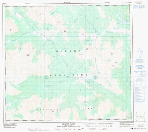
104A16 Mcevoy Flats Canada topo map, 1:50,000 scale
104A16 Mcevoy Flats NRCAN topographic map.
Includes UTM and GPS geographic coordinates (latitude and longitude). This 50k scale map is suitable for hiking, camping, and exploring, or you could frame it as a wall map.
Printed on-demand using high resolution, on heavy weight and acid free paper, or as an upgrade on a variety of synthetic materials.
Topos available on paper, Waterproof, Poly, or Tyvek. Usually shipping rolled, unless combined with other folded maps in one order.
- Product Number: NRCAN-104A16
- Parent Topo: TOPO-104A
- Map ID also known as: 104A16
- Unfolded Size: Approximately 26" high by 36" wide
- Weight (paper map): ca. 55 grams
- Map Type: POD NRCAN Topographic Map
- Map Scale: 1:50,000
- Geographical region: British Columbia, Canada
Neighboring Maps:
All neighboring Canadian topo maps are available for sale online at 1:50,000 scale.
Purchase the smaller scale map covering this area: Topo-104A
Spatial coverage:
Topo map sheet 104A16 Mcevoy Flats covers the following places:
- Beaverlodge Lake - Kluatantan Lakes - Panorama Lake - Tzahny Lake - Devils Claw Mountain - Distingué Mountain - Groundhog Mountain - Groundhog Range - Lonesome Mountain - McEvoy Ridge - Moss Mountain - Mount Alec - Mount Distingué - Mount Gordon - Mount Jackson - Mount Laidlaw - Mount McEvoy - Mount Taylor - Operator Mountain - Pyramid Bluff - Skeena Mountains - Table Mountain - View Mountain - Regional District of Kitimat-Stikine - Jackson Flats - Abraham Creek - Anthracite Creek - Arnos Creek - Augustine Creek - Beirnes Creek - Billygoat Creek - Brewer Creek - Campbell-Johnston Creek - Currier Creek - Davis Creek - Dicks Iverson Creek - Discovery Creek - Duke Creek - Duti River - Ethel Creek - Evans Creek - Falconer Creek - Fork Creek - Geoffrey Creek - Jackson Creek - Jenkins Creek - Kluatantan River - Kobes Creek - Langlois Creek - Leach Creek - Little Creek - Lonesome Creek - Nannygoat Creek - Panorama Creek - Skeena River - Tantan Creek - Taylor Creek - Telfer Creek - Trail Creek - Tupso Creek - Tzahny Creek - McEvoy Flats - Abraham Gulch - Discovery Gulch - Grizzly Gulch - McEvoy Flats


