
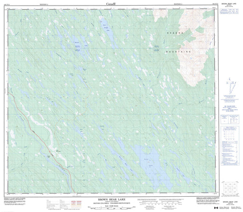
103P15 Brown Bear Lake Canada topo map, 1:50,000 scale
103P15 Brown Bear Lake NRCAN topographic map.
Includes UTM and GPS geographic coordinates (latitude and longitude). This 50k scale map is suitable for hiking, camping, and exploring, or you could frame it as a wall map.
Printed on-demand using high resolution, on heavy weight and acid free paper, or as an upgrade on a variety of synthetic materials.
Topos available on paper, Waterproof, Poly, or Tyvek. Usually shipping rolled, unless combined with other folded maps in one order.
- Product Number: NRCAN-103P15
- Parent Topo: TOPO-103P
- Map ID also known as: 103P15
- Unfolded Size: Approximately 26" high by 36" wide
- Weight (paper map): ca. 55 grams
- Map Type: POD NRCAN Topographic Map
- Map Scale: 1:50,000
- Geographical region: British Columbia, Canada
Neighboring Maps:
All neighboring Canadian topo maps are available for sale online at 1:50,000 scale.
Purchase the smaller scale map covering this area: Topo-103P
Spatial coverage:
Topo map sheet 103P15 Brown Bear Lake covers the following places:
- Vandyke Island - Axnegrelga Lake - Bonney Lake - Brown Bear Lake - Club Lake - Fred Wright Lake - Hughan Lake - Jigsaw Lake - Munro Lake - Nine Lake - Stephens Lake - Swan Lake - Tremblay Lake - Williams Lake - Skeena Mountains - Regional District of Kitimat-Stikine - Swan Lake Kispiox River Park - Axnegrelga Creek - Bonney Creek - Brown Bear Creek - East Kispiox River - Kispiox River - Kitanweliks Creek - Kwinageese River - Line Creek - Little Paw Creek - Nass River - Paw Creek - Stephens Creek - Wolverine Creek


