
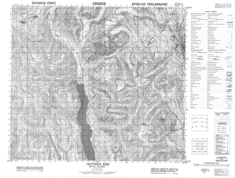
103P12 Hastings Arm Canada topo map, 1:50,000 scale
103P12 Hastings Arm NRCAN topographic map.
Includes UTM and GPS geographic coordinates (latitude and longitude). This 50k scale map is suitable for hiking, camping, and exploring, or you could frame it as a wall map.
Printed on-demand using high resolution, on heavy weight and acid free paper, or as an upgrade on a variety of synthetic materials.
Topos available on paper, Waterproof, Poly, or Tyvek. Usually shipping rolled, unless combined with other folded maps in one order.
- Product Number: NRCAN-103P12
- Parent Topo: TOPO-103P
- Map ID also known as: 103P12
- Unfolded Size: Approximately 26" high by 36" wide
- Weight (paper map): ca. 55 grams
- Map Type: POD NRCAN Topographic Map
- Map Scale: 1:50,000
- Geographical region: British Columbia, Canada
Neighboring Maps:
All neighboring Canadian topo maps are available for sale online at 1:50,000 scale.
Purchase the smaller scale map covering this area: Topo-103P
Spatial coverage:
Topo map sheet 103P12 Hastings Arm covers the following places:
- Hastings Arm - Varden Glacier - Kshwan Indian Reserve 27 - Kshwan Indian Reserve 27A - Réserve indienne Kshwan 27 - Réserve indienne Kshwan 27A - Ashwood Lake - Outram Lake - Ashby Mountains - Boundary Ranges - Burniston Range - Campbell Ridge - Carr Range - Carr Ridge - Chaîne Côtière - Chaloner Ridge - Coast Mountains - Combination Mountain - Gaunton Mountain - Guanton Mountains - Klayduc Mountain - Kshwan Mountain - Mount Ashby - Mount Evindsen - Mount Fowler - Mount George - Mount Guanton - Mount Hastings - Mount Klayduc - Mount Marshal - Tsimstol Mountain - Regional District of Kitimat-Stikine - Anyox Creek - Black Bear Creek - Donahue Creek - East Georgie River - Evindsen Creek - Evindson Creek - Gwunya Creek - Homestake Creek - Homestead Creek - Kitsault River - Klayduc Creek - Kshwan River - La Rose Creek - Lime Creek - Lyall Creek - Miner Creek - Olh Creek - Outram Creek - Silverwolf Creek - Sutton River - Tiger Creek - Trout Creek - West Kitsault River - Ks wan


