
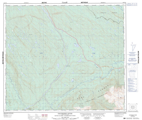
103P10 Cranberry River Canada topo map, 1:50,000 scale
103P10 Cranberry River NRCAN topographic map.
Includes UTM and GPS geographic coordinates (latitude and longitude). This 50k scale map is suitable for hiking, camping, and exploring, or you could frame it as a wall map.
Printed on-demand using high resolution, on heavy weight and acid free paper, or as an upgrade on a variety of synthetic materials.
Topos available on paper, Waterproof, Poly, or Tyvek. Usually shipping rolled, unless combined with other folded maps in one order.
- Product Number: NRCAN-103P10
- Parent Topo: TOPO-103P
- Map ID also known as: 103P10
- Unfolded Size: Approximately 26" high by 36" wide
- Weight (paper map): ca. 55 grams
- Map Type: POD NRCAN Topographic Map
- Map Scale: 1:50,000
- Geographical region: British Columbia, Canada
Neighboring Maps:
All neighboring Canadian topo maps are available for sale online at 1:50,000 scale.
Purchase the smaller scale map covering this area: Topo-103P
Spatial coverage:
Topo map sheet 103P10 Cranberry River covers the following places:
- Gwingag Indian Reserve 53 - Réserve indienne Gwingag 53 - Cottonwood Island - Bonus Lake - Borden Lake - Derrick Lake - Dot Lake - Footprint Lake - Halfway Lake - Lawrie Lake - McKnight Lake - Sideslip Lake - Chaîne Côtière - Hazelton Mountains - Kinskuch Peak - Kiteen Range - Kiteen Ridge - Mount Weber - Nass Ranges - Regional District of Kitimat-Stikine - Aluk Creek - Calmin Creek - Cranberry River - Derrick Creek - Ginmiltkun Creek - Kinskuch River - Kispiox River - Kiteen River - Nass River - Seaskinnish Creek - Tchitin River - Weegett Creek - Cranberry Junction


