
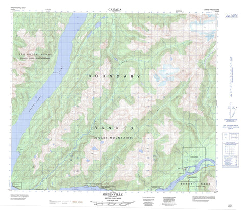
103P04 Greenville Canada topo map, 1:50,000 scale
103P04 Greenville NRCAN topographic map.
Includes UTM and GPS geographic coordinates (latitude and longitude). This 50k scale map is suitable for hiking, camping, and exploring, or you could frame it as a wall map.
Printed on-demand using high resolution, on heavy weight and acid free paper, or as an upgrade on a variety of synthetic materials.
Topos available on paper, Waterproof, Poly, or Tyvek. Usually shipping rolled, unless combined with other folded maps in one order.
- Product Number: NRCAN-103P04
- Parent Topo: TOPO-103P
- Map ID also known as: 103P04, 103P4
- Unfolded Size: Approximately 26" high by 36" wide
- Weight (paper map): ca. 55 grams
- Map Type: POD NRCAN Topographic Map
- Map Scale: 1:50,000
- Geographical region: British Columbia, Canada
Neighboring Maps:
All neighboring Canadian topo maps are available for sale online at 1:50,000 scale.
Purchase the smaller scale map covering this area: Topo-103P
Spatial coverage:
Topo map sheet 103P04 Greenville covers the following places:
- Fishery Bay - Observatory Inlet - Ts'im{5}'ol'hl Da oots'ip - Bay Point - Stony Point - Kincolith Indian Reserve 14 - Kincolith Indian Reserve 14A - Lachkaltsap Indian Reserve 9 - Red Cliff (Red Bluff) Indian Reserve 13 - Réserve indienne Kincolith 14 - Réserve indienne Kincolith 14A - Réserve indienne Lachkaltsap 9 - Réserve indienne Red Cliff (Red Bluff) 13 - Réserve indienne Scowban 28 - Réserve indienne Stony Point (Fishery Bay) 10 - Scowban Indian Reserve 28 - Stony Point (Fishery Bay) Indian Reserve 10 - Ikzatk Lake - Ikzatqu Lake - Ashington Range - Boundary Ranges - Chaîne Côtière - Coast Mountains - Dent Mountain - Kitimat Ranges - Mount Dent - Mount Francis - Mount Tomlinson - Mount Woods - Sharp Peak - Regional District of Kitimat-Stikine - Anliyen Creek - Anudol Creek - Diskangieq Creek - Greenville Creek - Iknouk River - Inouk River - Keazoah Creek - Kincolith Creek - Kincolith River - Ksi Sgawban - Nass River - Quilgauw Creek - Stagoo Creek - Stagoo River - Xnukw - Middle Bank - Greenville - Lachkaltsap - Laxgalts'ap - Mission Valley


