
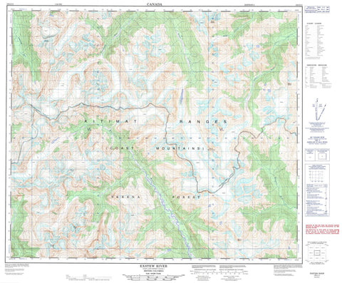
103I11 Exstew River Canada topo map, 1:50,000 scale
103I11 Exstew River NRCAN topographic map.
Includes UTM and GPS geographic coordinates (latitude and longitude). This 50k scale map is suitable for hiking, camping, and exploring, or you could frame it as a wall map.
Printed on-demand using high resolution, on heavy weight and acid free paper, or as an upgrade on a variety of synthetic materials.
Topos available on paper, Waterproof, Poly, or Tyvek. Usually shipping rolled, unless combined with other folded maps in one order.
- Product Number: NRCAN-103I11
- Parent Topo: TOPO-103I
- Map ID also known as: 103I11
- Unfolded Size: Approximately 26" high by 36" wide
- Weight (paper map): ca. 55 grams
- Map Type: POD NRCAN Topographic Map
- Map Scale: 1:50,000
- Geographical region: British Columbia, Canada
Neighboring Maps:
All neighboring Canadian topo maps are available for sale online at 1:50,000 scale.
Purchase the smaller scale map covering this area: Topo-103I
Spatial coverage:
Topo map sheet 103I11 Exstew River covers the following places:
- Chaîne Côtière - Coast Mountains - Keays Peak - Kitimat Ranges - Morin Peak - Morton Peak - Mount Finley - Mount Hadden - Mount Leighton - Mount Mayo - Mount Morris - Mount Neilson - Mount William Brown - Regional District of Kitimat-Stikine - Khutzeymateen Park - Bohler Creek - Exstew River - Ishkheenickh River - Kateen River - Kitsumkalum River - Mayo Creek - Nelson River - Star Creek - Zymagotitz River


