
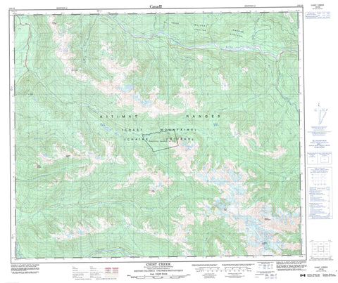
103I08 Chist Creek Canada topo map, 1:50,000 scale
103I08 Chist Creek NRCAN topographic map.
Includes UTM and GPS geographic coordinates (latitude and longitude). This 50k scale map is suitable for hiking, camping, and exploring, or you could frame it as a wall map.
Printed on-demand using high resolution, on heavy weight and acid free paper, or as an upgrade on a variety of synthetic materials.
Topos available on paper, Waterproof, Poly, or Tyvek. Usually shipping rolled, unless combined with other folded maps in one order.
- Product Number: NRCAN-103I08
- Parent Topo: TOPO-103I
- Map ID also known as: 103I08, 103I8
- Unfolded Size: Approximately 26" high by 36" wide
- Weight (paper map): ca. 55 grams
- Map Type: POD NRCAN Topographic Map
- Map Scale: 1:50,000
- Geographical region: British Columbia, Canada
Neighboring Maps:
All neighboring Canadian topo maps are available for sale online at 1:50,000 scale.
Purchase the smaller scale map covering this area: Topo-103I
Spatial coverage:
Topo map sheet 103I08 Chist Creek covers the following places:
- Andesite Peak - Bulkley Ranges - Chaîne Côtière - Coast Mountains - Flat Peak - Gunsight Peak - Kitimat Ranges - Mount Andesite - Mount Attree - Mount Clore - Mount De Boer - Mount Henderson - Mount Layton - Mount Thornhill - O.K. Range - Okay Range - Thornhill Mountain - Regional District of Kitimat-Stikine - Chist Creek - Clore River - Dardanelle Creek - Drake Creek - Eight Mile Creek - Elf Creek - Elliot Creek - Furlong Creek - Hatchery Creek - Hunter Creek - Kitimat River - Magee Creek - Mattson Creek - McNeil Creek - Moraine Creek - O.K. Creek - Salmon Creek - Salmon Run Creek - Schulbuckhand Creek - Sockeye Creek - Thomas Creek - Thornhill Creek - Tom Creek - Trapline Creek - Trapper Creek - Williams Creek - Zymoetz River


