
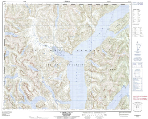
103H11 Kitkiata Inlet Canada topo map, 1:50,000 scale
103H11 Kitkiata Inlet NRCAN topographic map.
Includes UTM and GPS geographic coordinates (latitude and longitude). This 50k scale map is suitable for hiking, camping, and exploring, or you could frame it as a wall map.
Printed on-demand using high resolution, on heavy weight and acid free paper, or as an upgrade on a variety of synthetic materials.
Topos available on paper, Waterproof, Poly, or Tyvek. Usually shipping rolled, unless combined with other folded maps in one order.
- Product Number: NRCAN-103H11
- Parent Topo: TOPO-103H
- Map ID also known as: 103H11
- Unfolded Size: Approximately 26" high by 36" wide
- Weight (paper map): ca. 55 grams
- Map Type: POD NRCAN Topographic Map
- Map Scale: 1:50,000
- Geographical region: British Columbia, Canada
Neighboring Maps:
All neighboring Canadian topo maps are available for sale online at 1:50,000 scale.
Purchase the smaller scale map covering this area: Topo-103H
Spatial coverage:
Topo map sheet 103H11 Kitkiata Inlet covers the following places:
- Fishtrap Bay - Kiskosh Inlet - Kitkiata Inlet - Amy Point - Gertrude Point - Grant Point - Helen Point - Douglas Channel - Sue Channel - Ursula Channel - Verney Passage - Bluejay Falls - Gill Island Indian Reserve 2 - Kitkahta Indian Reserve 1 - Quaal Indian Reserve 3 - Quaal Indian Reserve 3A - Réserve indienne Gill Island 2 - Réserve indienne Kitkahta 1 - Réserve indienne Quaal 3 - Réserve indienne Quaal 3A - Gribbell Island - Hawkesbury Island - Maitland Island - Alty Lake - Arkell Lake - Backlund Lake - Bardon Lake - Battaglia Lake - Belowe Lake - Caponero Lake - Ecstall Lake - Gamble Lake - Gavel Lake - Kitkiata Lake - Simpson Lake - Weare Lake - Chaîne Côtière - Coast Mountains - Countess of Dufferin Range - Kitimat Ranges - Regional District of Kitimat-Stikine - Alty Creek - Arkell Creek - Backlund Creek - Bardon Creek - Caponero Creek - Kihess Creek - Kiskosh Creek - Kitkiata Creek - Kumowadah River - Kumowdah River - Quaal River - Stair Creek - Boxer Reach


