
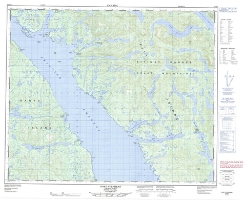
103H05 Port Stephens Canada topo map, 1:50,000 scale
103H05 Port Stephens NRCAN topographic map.
Includes UTM and GPS geographic coordinates (latitude and longitude). This 50k scale map is suitable for hiking, camping, and exploring, or you could frame it as a wall map.
Printed on-demand using high resolution, on heavy weight and acid free paper, or as an upgrade on a variety of synthetic materials.
Topos available on paper, Waterproof, Poly, or Tyvek. Usually shipping rolled, unless combined with other folded maps in one order.
- Product Number: NRCAN-103H05
- Parent Topo: TOPO-103H
- Map ID also known as: 103H05, 103H5
- Unfolded Size: Approximately 26" high by 36" wide
- Weight (paper map): ca. 55 grams
- Map Type: POD NRCAN Topographic Map
- Map Scale: 1:50,000
- Geographical region: British Columbia, Canada
Neighboring Maps:
All neighboring Canadian topo maps are available for sale online at 1:50,000 scale.
Purchase the smaller scale map covering this area: Topo-103H
Spatial coverage:
Topo map sheet 103H05 Port Stephens covers the following places:
- Anger Inlet - Buchan Inlet - Burns Bay - Curtis Inlet - Hodgson Cove - Ire Inlet - Kooryet Bay - Limestone Bay - Lundy Cove - Miller Inlet - Mink Trap Bay - Monckton Inlet - Moolock Cove - Patterson Inlet - Port Stephens - Toowartz Inlet - Tuwartz Inlet - Annie Point - Becker Point - Bluff Point - Centre Point - Despair Point - Elsfield Point - Gale Point - Keecha Point - Leggeat Point - Littlejohn Point - Monckton Point - Oar Point - Tweedsmuir Point - Ala Passage - Grenville Channel - Principe Channel - Stephens Narrows - Tuwartz Narrows - Clowel Indian Reserve 13 - Keecha Indian Reserve 11 - Kitlawaoo Indian Reserve 10 - Kooryet Indian Reserve 12 - Réserve indienne Clowel 13 - Réserve indienne Keecha 11 - Réserve indienne Kitlawaoo 10 - Réserve indienne Kooryet 12 - Réserve indienne Sheganny 14 - Réserve indienne Toowartz 8 - Réserve indienne Tsimlairen 15 - Sheganny Indian Reserve 14 - Toowartz Indian Reserve 8 - Tsimlairen Indian Reserve 15 - Anger Island - Banks Island - Cranston Island - Ettershank Islands - Greentop Islet - Kooryet Island - Lock Island - Pitt Island - Ralston Islands - Roy Island - Rungé Island - Sewell Islet - Trade Islands - Trade Islets - Cridge Lagoon - Devon Lake - Keecha Lake - Kooryet Lake - Leavitt Lagoon - Moore Lake - Red Bluff Lake - Roger Lake - Stephen Nelson Lake - Tsemhara Lake - Tuwartz Lake - Vandenbergh Lake - Waller Lake - Waller Lakes - Bare Hill - Carlo Range - Coast Mountains - Countess of Dufferin Range - Joseph Hill - Kitimat Ranges - Mount Frank - Mount Hulke - Mount Patterson - Regional District of Kitimat-Stikine - Keecha Creek - Kooryet Creek - Red Bluff Creek - Nesbitt Rock - Peck Shoal - Kitkatlah - Sheganny Reserve


