
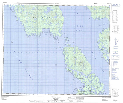
103H04 Trutch Island Canada topo map, 1:50,000 scale
103H04 Trutch Island NRCAN topographic map.
Includes UTM and GPS geographic coordinates (latitude and longitude). This 50k scale map is suitable for hiking, camping, and exploring, or you could frame it as a wall map.
Printed on-demand using high resolution, on heavy weight and acid free paper, or as an upgrade on a variety of synthetic materials.
Topos available on paper, Waterproof, Poly, or Tyvek. Usually shipping rolled, unless combined with other folded maps in one order.
- Product Number: NRCAN-103H04
- Parent Topo: TOPO-103H
- Map ID also known as: 103H04, 103H4
- Unfolded Size: Approximately 26" high by 36" wide
- Weight (paper map): ca. 55 grams
- Map Type: POD NRCAN Topographic Map
- Map Scale: 1:50,000
- Geographical region: British Columbia, Canada
Neighboring Maps:
All neighboring Canadian topo maps are available for sale online at 1:50,000 scale.
Purchase the smaller scale map covering this area: Topo-103H
Spatial coverage:
Topo map sheet 103H04 Trutch Island covers the following places:
- Betteridge Inlet - Calamity Bay - Calamity Harbour - Devlin Bay - Dillon Bay - Ethelda Bay - Geodetic Cove - Harwood Bay - Lindsay Bay - Murray Anchorage - Oswald Bay - Saycuritay Cove - Sharp Bay - Weinberg Inlet - Cox Point - Deer Point - Fairchild Point - Finlayson Peninsula - Finnerty Point - Fleishman Point - Flynn Point - Harlan Point - Humphreys Point - Le Jeune Point - McCreight Point - Paige Point - Ring Point - Spearer Point - Terror Point - Wolf Point - Anderson Passage - Dunn Passage - Estevan Sound - Gillespie Channel - Hecate Strait - Langley Passage - Nepean Sound - Otter Channel - Otter Passage - Principe Channel - Trouble Passage - Citeyats Indian Reserve 9 - Kitlawaoo Indian Reserve 10 - Réserve indienne Citeyats 9 - Réserve indienne Kitlawaoo 10 - Banks Island - Barnard Island - Block Islands - Breaker Islets - Campania Island - Cone Island - Dewdney Island - East Island - Estevan Group - Estevan Islands - Hickey Islands - Joseph Island - Laithwood Island - Langthorne Island - Lotbinière Island - Man Island - Nichol Island - North Island - Pitt Island - Principe Islets - Prior Island - Sekani Island - Sisters Islands - South Island - Tennant Island - Trap Islands - Trutch Island - Carlo Range - Coast Mountains - Kitimat Ranges - Musgrave Peaks - Musgrave Range - Regional District of Kitimat-Stikine - Agassiz Banks - Bland Rocks - Boyko Rock - Brodie Rock - Clifford Rocks - Crews Rock - Marble Rock - Marchant Rock - Michael Bank - Narwhal Reef - Nepean Rock - Sekani Reef - Trap Rocks


