
103H02 Butedale Canada topo map, 1:50,000 scale
103H02 Butedale NRCAN topographic map.
Includes UTM and GPS geographic coordinates (latitude and longitude). This 50k scale map is suitable for hiking, camping, and exploring, or you could frame it as a wall map.
Printed on-demand using high resolution, on heavy weight and acid free paper, or as an upgrade on a variety of synthetic materials.
Topos available on paper, Waterproof, Poly, or Tyvek. Usually shipping rolled, unless combined with other folded maps in one order.
- Product Number: NRCAN-103H02
- Parent Topo: TOPO-103H
- Map ID also known as: 103H02, 103H2
- Unfolded Size: Approximately 26" high by 36" wide
- Weight (paper map): ca. 55 grams
- Map Type: POD NRCAN Topographic Map
- Map Scale: 1:50,000
- Geographical region: British Columbia, Canada
Neighboring Maps:
All neighboring Canadian topo maps are available for sale online at 1:50,000 scale.
Purchase the smaller scale map covering this area: Topo-103H
Spatial coverage:
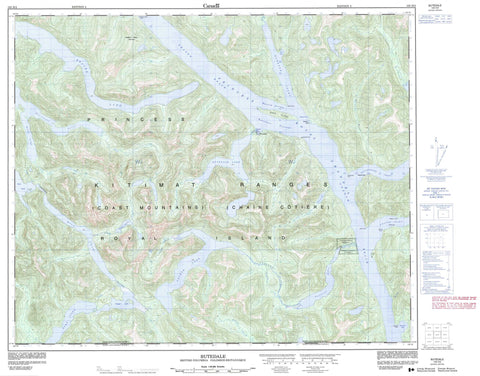
Topo map sheet 103H02 Butedale covers the following places:
- Aaltanhash Inlet - Cornwall Inlet - Drake Inlet - Khutze Inlet - Klekane Inlet - Marmot Cove - Scow Bay - Surf Inlet - Swanson Bay - Asher Point - Baudre Point - Elephant Head Point - Green Spit - Griffin Point - Heddington Point - Maskill Point - Meldrum Point - Redcliff Point - Swanson Point - Butedale Passage - Malcolm Passage - Princess Royal Channel - Garnier Bluff - Butedale Falls - Canoona Indian Reserve 2 - Réserve indienne Canoona 2 - Klekane Island - Princess Royal Island - Wark Island - Work Island - Anchor Lake - Bear Lake - Butedale Lake - Canoona Lake - Cougar Lake - Deer Lake - Nomel Lake - Paradise Lake - Whalen Lake - Chaîne Côtière - Coast Mountains - Elephant Head Mountain - Kitimat Ranges - Regional District of Kitimat-Stikine - Aaltanhash River - Arnoup Creek - Big Creek - Butedale Creek - Canoona River - Klekane River - McIsaac River - Nomel Creek - Paradise Creek - Surf River - Fraser Reach - Graham Reach - Butedale - Port Belmont - Surf Inlet - Swanson Bay


