
103G16 Oona River Canada topo map, 1:50,000 scale
103G16 Oona River NRCAN topographic map.
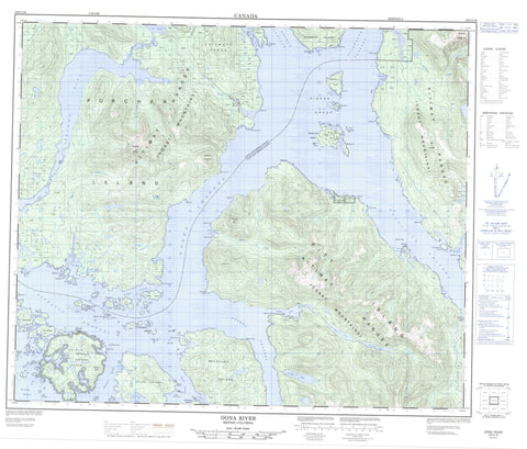
Includes UTM and GPS geographic coordinates (latitude and longitude). This 50k scale map is suitable for hiking, camping, and exploring, or you could frame it as a wall map.
Printed on-demand using high resolution, on heavy weight and acid free paper, or as an upgrade on a variety of synthetic materials.
Topos available on paper, Waterproof, Poly, or Tyvek. Usually shipping rolled, unless combined with other folded maps in one order.
- Product Number: NRCAN-103G16
- Parent Topo: TOPO-103G
- Map ID also known as: 103G16
- Unfolded Size: Approximately 26" high by 36" wide
- Weight (paper map): ca. 55 grams
- Map Type: POD NRCAN Topographic Map
- Map Scale: 1:50,000
- Geographical region: British Columbia, Canada
Neighboring Maps:
All neighboring Canadian topo maps are available for sale online at 1:50,000 scale.
Purchase the smaller scale map covering this area: Topo-103G
Spatial coverage:
Topo map sheet 103G16 Oona River covers the following places:
- Alpha Bay - Billy Bay - Captain Cove - Cardena Bay - Clam Bight - Connis Cove - False Stuart Anchorage - Fleming Bay - Gunboat Harbour - Kitkatlah Inlet - Kumealon Inlet - Moore Cove - North Arm Kitkatlah Inlet - Porcher Inlet - Shaman Cove - Skene Cove - Stuart Anchorage - Stuart Bight - Totem Inlet - Welham Cove - Alpha Point - Bareside Point - Baron Point - Bonwick Point - Buckley Point - Bush Point - Calvert Point - Captain Point - Cecil Point - Chell Point - Comrie Head - Daring Point - Fish Point - Henderson Point - Hill Point - Ker Point - Lerwick Point - McCauley Point - McMurray Point - Oona Point - Peninsula Point - Peter Point - Pitt Point - Rippon Point - Seabreeze Point - Shibasha Point - Sparrowhawk Point - Spicer Point - Strouts Point - Swede Point - Arthur Passage - Beaver Passage - Browning Entrance - Gasboat Passage - Grenville Channel - Kelp Passage - Kitkatla Channel - Ogden Channel - Petrel Channel - Porcher Narrows - Schooner Passage - Telegraph Passage - Dolphin Island Indian Reserve 1 - Grassy Islet Indian Reserve 2 - Klapthlon Indian Reserve 5 - Klapthlon Indian Reserve 5A - Pa-aat Indian Reserve 6 - Réserve indienne Dolphin Island 1 - Réserve indienne Grassy Islet 2 - Réserve indienne Klapthlon 5 - Réserve indienne Klapthlon 5A - Réserve indienne Pa-aat 6 - Réserve indienne Sand Island 4 - Sand Island Indian Reserve 4 - Bedford Island - Billy Islands - Bloxam Island - Browning Island - Bully Island - Connis Island - Connis Islet - Dolphin Island - Elliott Island - Ewart Island - False Grassy Island - Gibson Group - Gibson Island - Gilbert Island - Gladstone Islands - Goschen Island - Grassy Island - Jock Island - Kennedy Island - Kitkatla Islands - Kitkatlah Islands - Kumealon Island - Lamb Island - Letts Islets - Lewis Island - Marrack Island - McCauley Island - Pelham Islands - Pitt Island - Porcher Island - Prager Islands - Sand Island - Shakes Islands - Shibasha Island - South Spicer Island - Spicer Island - Turf Islet - Dolphin Lagoon - Holmes Lake - Kilpatrick Lake - Kumealon Lagoon - Salt Lagoon - Salt Lake - Scoular Lake - Anchor Mountain - Bareside Mountain - Chaîne Côtière - Chismore Range - Coast Mountains - Egeria Mountain - Elwin Mountains - Kitimat Ranges - Mount Coutlée - Mount Elwin - Mount Shields - Passage Cone - Regional District of Kitimat-Stikine - Alpha Creek - Billy Creek - Canyon Creek - John Campbell Creek - Kromann Creek - Moore Cove Creek - Oona River - Paaat River - Pa-aat River - Phoenix Creek - Porcher Creek - Salmon River - Spiller River - Welham Creek - Bloxam Flat - Gurd Rock - Isbister Shoals - Stag Rock - Watson Rock - Kitkatla - Oona River


