
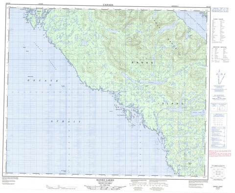
103G08 Banks Lakes Canada topo map, 1:50,000 scale
103G08 Banks Lakes NRCAN topographic map.
Includes UTM and GPS geographic coordinates (latitude and longitude). This 50k scale map is suitable for hiking, camping, and exploring, or you could frame it as a wall map.
Printed on-demand using high resolution, on heavy weight and acid free paper, or as an upgrade on a variety of synthetic materials.
Topos available on paper, Waterproof, Poly, or Tyvek. Usually shipping rolled, unless combined with other folded maps in one order.
- Product Number: NRCAN-103G08
- Parent Topo: TOPO-103G
- Map ID also known as: 103G08, 103G8
- Unfolded Size: Approximately 26" high by 36" wide
- Weight (paper map): ca. 55 grams
- Map Type: POD NRCAN Topographic Map
- Map Scale: 1:50,000
- Geographical region: British Columbia, Canada
Neighboring Maps:
All neighboring Canadian topo maps are available for sale online at 1:50,000 scale.
Purchase the smaller scale map covering this area: Topo-103G
Spatial coverage:
Topo map sheet 103G08 Banks Lakes covers the following places:
- Bonilla Arm - Foul Bay - Kingkown Inlet - Patsey Cove - Survey Bay - Waller Bay - Cliff Point - Grief Point - Kelp Point - Wreck Point - Hecate Strait - Principe Channel - Reverie Passage - Stewart Passage - Anger Island - Antle Islands - Banks Island - Kirkendale Island - Shadforth Islands - Wreck Islands - Banks Lake - Banks Lakes - Donaldson Lake - Kooryet Lake - Waller Lake - Waller Lakes - Carlo Range - Mount Gransell - Philliskirk Hill - Regional District of Kitimat-Stikine - Donaldson Creek - Waller Creek - Carlo Rock - Goring Reefs - Halibut Rocks - Hart Rock - Junk Ledge - McHarg Bank - North Danger Rocks - Surge Rocks


