
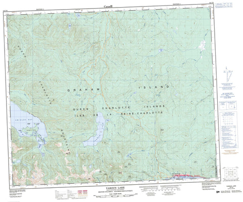
103F08 Yakoun Lake Canada topo map, 1:50,000 scale
103F08 Yakoun Lake NRCAN topographic map.
Includes UTM and GPS geographic coordinates (latitude and longitude). This 50k scale map is suitable for hiking, camping, and exploring, or you could frame it as a wall map.
Printed on-demand using high resolution, on heavy weight and acid free paper, or as an upgrade on a variety of synthetic materials.
Topos available on paper, Waterproof, Poly, or Tyvek. Usually shipping rolled, unless combined with other folded maps in one order.
- Product Number: NRCAN-103F08
- Parent Topo: TOPO-103F
- Map ID also known as: 103F08, 103F8
- Unfolded Size: Approximately 26" high by 36" wide
- Weight (paper map): ca. 55 grams
- Map Type: POD NRCAN Topographic Map
- Map Scale: 1:50,000
- Geographical region: British Columbia, Canada
Neighboring Maps:
All neighboring Canadian topo maps are available for sale online at 1:50,000 scale.
Purchase the smaller scale map covering this area: Topo-103F
Spatial coverage:
Topo map sheet 103F08 Yakoun Lake covers the following places:
- Bearskin Bay - Clapp Basin - Ells Bay - Etheline Bay - Shields Bay - Skidegate Inlet - Van Harbour - Van Inlet - Beattie Point - Dawson Head - Smith Point - Mackenzie Passage - Queen Charlotte Land District - Réserve indienne Skidegate 1 - Skidegate Indian Reserve 1 - Clapp Islands - Graham Island - Îles de la Reine-Charlotte - Queen Charlotte Islands - Robertson Island - Shields Island - Feather Lake - Marie Lake - Pam Lake - Peter Lake - Sheila Lake - Stanley Lake - Sue Lake - Yakoun Lake - Delta Dome - Dome Mountain - Double Mountain - Marie Peak - Mount Etheline - Mount Genevieve - Mount Matlock - Mount Needham - Mount Parrish - Mount Raymond - Mount Stapleton - Nipple Mountain - Old Baldy - Queen Charlotte Mountains - Skowkona Mountain - Skowkona Ridge - Slatechuck Mountain - Stony Peak - Trap Hill - Skidegate Plateau - Anthracite Creek - Baddeck Creek - Blackbear Creek - Brent Creek - Cairnes Creek - Canyon Creek - Charley Valley Creek - Chinukundl Creek - Crabapple Brook - Delta Creek - Demon Creek - Drill Creek - Etheline Creek - Falls Creek - Ghost Creek - Ghost River - Gold Creek - Gore Brook - Hartie Creek - Honna River - Hoodoo Creek - Jungle Creek - Kagan Creek - Katrine Creek - King Creek - Lella Creek - Miller Creek - Mountain Creek - Mountain River - Muncord Creek - Outlook Creek - Phantom Creek - Premier Creek - Riley Creek - Rockrun Creek - Sandstone Creek - Shields Creek - Skid Creek - Skowkona Creek - Slarkedus Creek - Slatechuck Creek - Sturdy Creek - Sue Creek - Survey Creek - Sybil Creek - Tarundl Creek - Templeton Creek - Three Mile Creek - Tlell River - Twin Creek - Twin River - Wilson Creek - Yakoun River - Ells Rocks - Shields Rock - Queen Charlotte - Queen Charlotte City - Village of Queen Charlotte


