
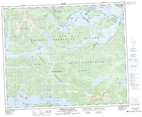
103F01 Skidegate Channel Canada topo map, 1:50,000 scale
103F01 Skidegate Channel NRCAN topographic map.
Includes UTM and GPS geographic coordinates (latitude and longitude). This 50k scale map is suitable for hiking, camping, and exploring, or you could frame it as a wall map.
Printed on-demand using high resolution, on heavy weight and acid free paper, or as an upgrade on a variety of synthetic materials.
Topos available on paper, Waterproof, Poly, or Tyvek. Usually shipping rolled, unless combined with other folded maps in one order.
- Product Number: NRCAN-103F01
- Parent Topo: TOPO-103F
- Map ID also known as: 103F01, 103F1
- Unfolded Size: Approximately 26" high by 36" wide
- Weight (paper map): ca. 55 grams
- Map Type: POD NRCAN Topographic Map
- Map Scale: 1:50,000
- Geographical region: British Columbia, Canada
Neighboring Maps:
All neighboring Canadian topo maps are available for sale online at 1:50,000 scale.
Purchase the smaller scale map covering this area: Topo-103F
Spatial coverage:
Topo map sheet 103F01 Skidegate Channel covers the following places:
- Alliford Bay - Anchor Cove - Baylee Bay - Bearskin Bay - Boomchain Bay - Christie Bay - Dawson Harbour - Dawson Inlet - Deland Bay - Englefield Bay - Fannin Bay - Gillatt Arm - Gordon Cove - Gosset Bay - Kagan Bay - Kaisun Harbour - Kitgoro Inlet - Kuper Inlet - Long Arm - Long Inlet - Mackenzie Bay - Mackenzie Cove - MacKenzie Cove - Newcombe Bay - Saltspring Bay - Security Bay - Security Cove - Security Inlet - Shoal Bay - Skidegate Inlet - South Bay - Trounce Inlet - Whiteaves Bay - Yovanovich Bight - Annesley Point - Anthracite Point - Belle Point - Bland Point - Bone Point - Canoe Point - Chittenden Point - Demariscove Point - Dyer Point - Exact Point - Fairlie Point - Georgianna Point - Haida Point - Hastings Point - Image Point - Josette Point - Kennedy Point - Leonide Point - McLellan Point - Newton Point - North Point - Percy Point - Pier Point - Random Point - Security Point - Steep Point - Susan Sturgis Point - Withered Point - Young Point - Armentières Channel - Buck Channel - Chaatl Narrows - East Narrows - Inskip Channel - Lina Narrows - Maude Channel - Skidegate Channel - West Narrows - Black Slate Indian Reserve 11 - Deena Indian Reserve 3 - Khrana Indian Reserve 4 - Lagins Indian Reserve 5 - Réserve indienne Black Slate 11 - Réserve indienne Deena 3 - Réserve indienne Khrana 4 - Réserve indienne Lagins 5 - Réserve indienne Skidegate 1 - Skidegate Indian Reserve 1 - Angle Island - Balch Islands - Berry Islands - Burnt Island - Bush Island - Carswell Island - Chaatl Island - Channel Islands - Claudet Island - Downie Island - Fleury Island - Flowery Islet - Gooden Island - Graham Island - Gust Island - Hallet Island - Helgesen Island - Hibben Island - Îles de la Reine-Charlotte - Instructor Island - Leading Island - Legace Island - Lihou Island - Lillihorn Island - Lina Island - Log Island - Maple Island - Maude Island - Meyer Island - Moresby Island - Queen Charlotte Islands - Reef Island - Robber Island - Robertson Island - Roderick Island - Sandilands Island - Sandstone Islands - Saunders Island - Scalus Island - Ship Island - Transit Island - Treble Island - Tree Islet - Triangle Island - Tuft Island - Wedge Island - Willie Island - Mosquito Lake - Skidegate Lake - Bertie Hill - Birch Mountain - Hump Mountain - Koohoo Hill - Lambert Hill - Meadow Mountain - Mosquito Mountain - Mount Brown - Mount Chisholm - Mount Moresby - Mount Rory - Mount Seymour - Queen Charlotte Mountains - Snow Peak - Stripe Mountain - Turner Peak - Braverman Creek - Cameron Creek - Crystal Creek - Deena Creek - Deena River - Honna River - Indian Cabin Creek - Kagan Creek - Lagins Creek - Macmillan Creek - Mike Laurie Creek - Mud Bay Creek - Outlook Creek - Pallant Creek - Porter Creek - Skid Creek - Slatechuck Creek - South Bay Creek - Tarundl Creek - Weeping Willy Creek - Bare Rocks - Danube Rock - Noble Rock - Weed Rock - Haina - Kaisun - Moresby Camp - Skidegate - Skidegate Landing


