
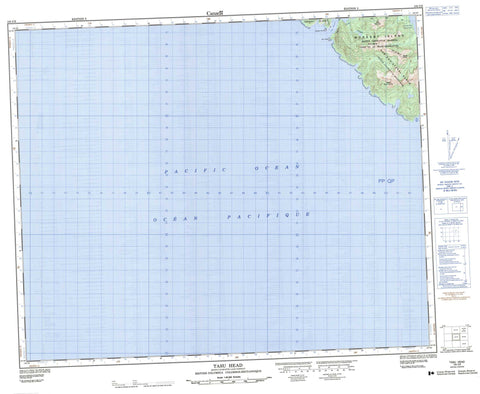
103C09 Tasu Head Canada topo map, 1:50,000 scale
103C09 Tasu Head NRCAN topographic map.
Includes UTM and GPS geographic coordinates (latitude and longitude). This 50k scale map is suitable for hiking, camping, and exploring, or you could frame it as a wall map.
Printed on-demand using high resolution, on heavy weight and acid free paper, or as an upgrade on a variety of synthetic materials.
Topos available on paper, Waterproof, Poly, or Tyvek. Usually shipping rolled, unless combined with other folded maps in one order.
- Product Number: NRCAN-103C09
- Parent Topo: TOPO-103C
- Map ID also known as: 103C09, 103C9
- Unfolded Size: Approximately 26" high by 36" wide
- Weight (paper map): ca. 55 grams
- Map Type: POD NRCAN Topographic Map
- Map Scale: 1:50,000
- Geographical region: British Columbia, Canada
Neighboring Maps:
All neighboring Canadian topo maps are available for sale online at 1:50,000 scale.
Purchase the smaller scale map covering this area: Topo-103C
Spatial coverage:
Topo map sheet 103C09 Tasu Head covers the following places:
- Blue Heron Bay - Fairfax Inlet - Wright Inlet - Davidson Point - Tasu Head - Tasu Narrows - Moresby Island - Queen Charlotte Islands - Cirque Lakes - Mount De la Touche - Mount Moody - Mount Oliver - San Christoval Range - Tasu Mountain - Gwaii Haanas National Park Reserve and Haida Heritage Site - Réserve de parc national et site du patrimoine haïda Gwaii Haanas


