
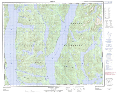
103A09 Roderick Island Canada topo map, 1:50,000 scale
103A09 Roderick Island NRCAN topographic map.
Includes UTM and GPS geographic coordinates (latitude and longitude). This 50k scale map is suitable for hiking, camping, and exploring, or you could frame it as a wall map.
Printed on-demand using high resolution, on heavy weight and acid free paper, or as an upgrade on a variety of synthetic materials.
Topos available on paper, Waterproof, Poly, or Tyvek. Usually shipping rolled, unless combined with other folded maps in one order.
- Product Number: NRCAN-103A09
- Parent Topo: TOPO-103A
- Map ID also known as: 103A09, 103A9
- Unfolded Size: Approximately 26" high by 36" wide
- Weight (paper map): ca. 55 grams
- Map Type: POD NRCAN Topographic Map
- Map Scale: 1:50,000
- Geographical region: British Columbia, Canada
Neighboring Maps:
All neighboring Canadian topo maps are available for sale online at 1:50,000 scale.
Purchase the smaller scale map covering this area: Topo-103A
Spatial coverage:
Topo map sheet 103A09 Roderick Island covers the following places:
- Bottleneck Inlet - Ellerslie Bay - James Bay - Kynoch Inlet - Lochalsh Bay - Mary Cove - North Arm - Nowish Cove - Nowish Inlet - Rescue Bay - Roderick Cove - Spiller Inlet - Wallace Bight - Watson Bay - Bancroft Point - Begg Point - Bolt Point - Charles Head - Coldwell Peninsula - Counsel Point - Denton Point - Don Peninsula - Emily Peninsula - Fell Point - Freeman Point - Golder Point - Hird Point - Howay Point - Kean Point - Pooley Point - Schofield Point - Spaniel Point - Waterfall Point - Charles Narrows - Finlayson Channel - Griffin Passage - Jackson Narrows - Jackson Passage - Klemtu Passage - Mathieson Channel - Nowish Narrows - Mary Cove Indian Reserve 12 - Réserve indienne Mary Cove 12 - Réserve indienne Skilak 14 - Skilak Indian Reserve 14 - Cone Island - Dodd Islets - Miall Islet - Nowish Island - Pooley Island - Roderick Island - Sarah Island - Susan Island - Swindle Island - Cheenis Lake - Ellerslie Lagoon - Ellerslie Lake - Ingram Lake - McPherson Lake - Mooto Lake - Pine Lake - Roderick Lake - Snass Lake - Wallace Lake - Western Lake - Bell Peak - Chaîne Côtière - Coast Mountains - Kitimat Ranges - Central Coast Regional District - Regional District of Kitimat-Stikine - Fiordland Recreation Area - Jackson Narrows Marine Park - Ingram Creek - McPherson Creek - Mooto Creek - Neekas Creek


