
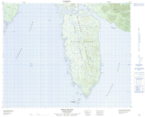
103A07 Price Island Canada topo map, 1:50,000 scale
103A07 Price Island NRCAN topographic map.
Includes UTM and GPS geographic coordinates (latitude and longitude). This 50k scale map is suitable for hiking, camping, and exploring, or you could frame it as a wall map.
Printed on-demand using high resolution, on heavy weight and acid free paper, or as an upgrade on a variety of synthetic materials.
Topos available on paper, Waterproof, Poly, or Tyvek. Usually shipping rolled, unless combined with other folded maps in one order.
- Product Number: NRCAN-103A07
- Parent Topo: TOPO-103A
- Map ID also known as: 103A07, 103A7
- Unfolded Size: Approximately 26" high by 36" wide
- Weight (paper map): ca. 55 grams
- Map Type: POD NRCAN Topographic Map
- Map Scale: 1:50,000
- Geographical region: British Columbia, Canada
Neighboring Maps:
All neighboring Canadian topo maps are available for sale online at 1:50,000 scale.
Purchase the smaller scale map covering this area: Topo-103A
Spatial coverage:
Topo map sheet 103A07 Price Island covers the following places:
- Grant Anchorage - Langford Cove - Muir Cove - Rudolf Bay - Aldrich Point - Day Point - Lombard Point - Catala Passage - Higgins Passage - Laredo Sound - Milbanke Sound - Prior Passage - Goo-ewe Indian Reserve 8 - Réserve indienne Goo-ewe 8 - Aristazabal Island - Bray Island - Day Island - Kipp Islet - Lohbrunner Island - McInnes Island - Munro Island - Price Island - Swindle Island - Jocelyn Hills - Jocelyn Range - Kitasu Hill - Mount Sarah - Regional District of Kitimat-Stikine - Lipsett Creek - Morley Creek - Ada Shoal - Jaffrey Rock - Keary Rock - Linn Rock - Luard Shoal - McGregor Bank - Moody Banks - Mould Rock - Nab Rock - Oldham Rock - Pidwell Reef - Pidwell Reefs - Seddall Shoals - Susan Rock - Vancouver Rock


