
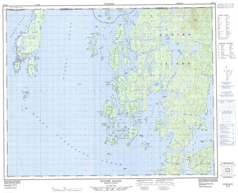
102P16 Hunter Island Canada topo map, 1:50,000 scale
102P16 Hunter Island NRCAN topographic map.
Includes UTM and GPS geographic coordinates (latitude and longitude). This 50k scale map is suitable for hiking, camping, and exploring, or you could frame it as a wall map.
Printed on-demand using high resolution, on heavy weight and acid free paper, or as an upgrade on a variety of synthetic materials.
Topos available on paper, Waterproof, Poly, or Tyvek. Usually shipping rolled, unless combined with other folded maps in one order.
- Product Number: NRCAN-102P16
- Parent Topo: TOPO-102P
- Map ID also known as: 102P16
- Unfolded Size: Approximately 26" high by 36" wide
- Weight (paper map): ca. 55 grams
- Map Type: POD NRCAN Topographic Map
- Map Scale: 1:50,000
- Geographical region: British Columbia, Canada
Neighboring Maps:
All neighboring Canadian topo maps are available for sale online at 1:50,000 scale.
Purchase the smaller scale map covering this area: Topo-102P
Spatial coverage:
Topo map sheet 102P16 Hunter Island covers the following places:
- Bremner Bay - Crab Cove - Goodlad Bay - Goose Island Anchorage - Goose Islands Anchorage - Kildidt Inlet - Kiltik Cove - Kiltik Creek - Kinsman Inlet - Leckie Bay - Lewall Inlet - Mustang Bay - Queen Charlotte Sound - Sea Otter Creek - Sea Otter Inlet - Spider Anchorage - Stewart Inlet - Swordfish Bay - Target Bay - Turnbull Inlet - Watt Bay - Bayly Point - Breadner Point - Daedalus Point - Hergest Point - Stubbs Point - Superstition Point - Brydon Channel - Cultus Sound - Edward Channel - Fulton Passage - Hunter Channel - Kildidt Narrows - Kildidt Sound - Lillooet Passage - Nalau Passage - Queens Sound - Sans Peur Passage - Spider Channel - Spitfire Channel - Ward Channel - Purple Bluff - Réserve indienne Werkinellek 11 - Réserve indienne Yellertlee 12 - Werkinellek Indian Reserve 11 - Yellertlee Indian Reserve 12 - Anne Islands - Beard Islands - Blenheim Island - Breadner Group - Camel Island - Canso Island - Clare Island - Currie Islet - Dodwell Island - Duck Island - Edna Islands - Gnat Islets - Goolden Islands - Goose Group - Goose Island - Goose Islands - Gosling Island - Granville Islands - Gull Island - Guy Island - Hanna Islet - Hart Group - Hurricane Island - Kidney Island - Kittyhawk Group - Latta Island - Lyte Group - Manley Island - McNaughton Group - Mosquito Islets - Nalau Island - Pattinson Group - Prince Group - Robert Island - Ronald Island - Rupert Island - Seafire Island - Serpent Group - Simonds Group - Snipe Island - Spider Island - Spitfire Island - Stirling Island - Stopper Group - Swan Island - Tomahawk Island - Triplet Islands - Triquet Island - Typhoon Island - Underhill Island - Kildidt Lagoon - Kinsman Lagoon - Merritt Lagoon - Mount Merritt - Central Coast Regional District - Hakai Recreation Area - Airacobra Rock - Gosling Rocks - Lancaster Reef - Lane Rock - Superstition Ledge - Vivian Rock


