
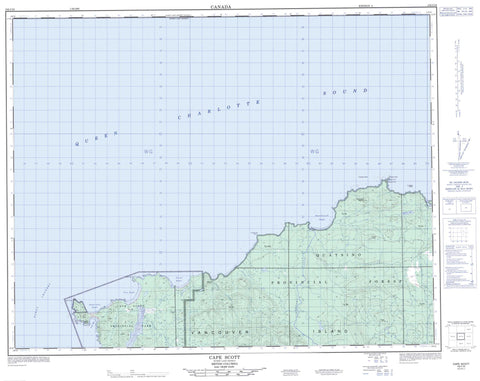
102I16 Cape Scott Canada topo map, 1:50,000 scale
102I16 Cape Scott NRCAN topographic map.
Includes UTM and GPS geographic coordinates (latitude and longitude). This 50k scale map is suitable for hiking, camping, and exploring, or you could frame it as a wall map.
Printed on-demand using high resolution, on heavy weight and acid free paper, or as an upgrade on a variety of synthetic materials.
Topos available on paper, Waterproof, Poly, or Tyvek. Usually shipping rolled, unless combined with other folded maps in one order.
- Product Number: NRCAN-102I16
- Parent Topo: TOPO-102I
- Map ID also known as: 102I16
- Unfolded Size: Approximately 26" high by 36" wide
- Weight (paper map): ca. 55 grams
- Map Type: POD NRCAN Topographic Map
- Map Scale: 1:50,000
- Geographical region: British Columbia, Canada
Neighboring Maps:
All neighboring Canadian topo maps are available for sale online at 1:50,000 scale.
Purchase the smaller scale map covering this area: Topo-102I
Spatial coverage:
Topo map sheet 102I16 Cape Scott covers the following places:
- Experiment Bight - Fisherman Bay - Guise Bay - Nels Bight - Nissen Bight - Shuttleworth Bight - Kebegwis - Cape Scott - Cape Sutil - Christensen Point - Frederiksen Point - Scott Channel - Nahwitti Indian Reserve 4 - Ouchton Indian Reserve 3 - Réserve indienne Nahwitti 4 - Réserve indienne Ouchton 3 - Île de Vancouver - Vancouver Island - Weser Island - Hansen Lagoon - Heimra Lake - Knob Hill - Nahwitti Cone - Northwest Nipple - Soren Hill - Regional District of Mount Waddington - Cape Scott Park - Bragg Creek - Dakota Creek - Fisherman River - Hansen Creek - Irony Creek - Laura Creek - Nahwitti River - Obling Creek - St. Mary Creek - Stranby River - Strandby River - Cook Bank - Edmund Rock - Thomsen Rock - Cape Scott


