
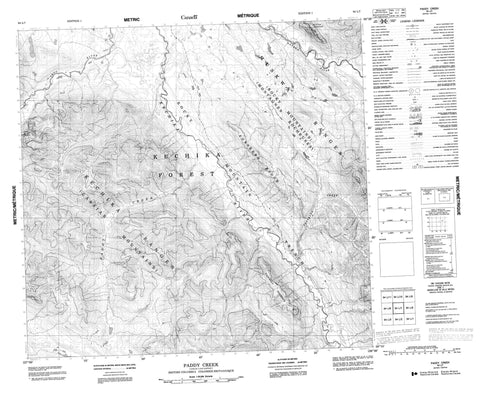
094L07 Paddy Creek Canada topo map, 1:50,000 scale
094L07 Paddy Creek NRCAN topographic map.
Includes UTM and GPS geographic coordinates (latitude and longitude). This 50k scale map is suitable for hiking, camping, and exploring, or you could frame it as a wall map.
Printed on-demand using high resolution, on heavy weight and acid free paper, or as an upgrade on a variety of synthetic materials.
Topos available on paper, Waterproof, Poly, or Tyvek. Usually shipping rolled, unless combined with other folded maps in one order.
- Product Number: NRCAN-094L07
- Parent Topo: TOPO-094L
- Map ID also known as: 094L07, 94L7, 94L07
- Unfolded Size: Approximately 26" high by 36" wide
- Weight (paper map): ca. 55 grams
- Map Type: POD NRCAN Topographic Map
- Map Scale: 1:50,000
- Geographical region: British Columbia, Canada
Neighboring Maps:
All neighboring Canadian topo maps are available for sale online at 1:50,000 scale.
Purchase the smaller scale map covering this area: Topo-094L
Spatial coverage:
Topo map sheet 094L07 Paddy Creek covers the following places:
- Cassiar Mountains - Forsberg Ridge - Gataga Ranges - Kechika Ranges - Muskwa Ranges - Rocky Mountains - Split Top Mountain - Valemont Mountain - Forsberg Creek - Frog River - Gataga River - Kechika River - Paddy Creek - Rocky Mountain Trench


