
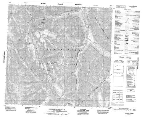
094K06 Normandy Mountain Canada topo map, 1:50,000 scale
094K06 Normandy Mountain NRCAN topographic map.
Includes UTM and GPS geographic coordinates (latitude and longitude). This 50k scale map is suitable for hiking, camping, and exploring, or you could frame it as a wall map.
Printed on-demand using high resolution, on heavy weight and acid free paper, or as an upgrade on a variety of synthetic materials.
Topos available on paper, Waterproof, Poly, or Tyvek. Usually shipping rolled, unless combined with other folded maps in one order.
- Product Number: NRCAN-094K06
- Parent Topo: TOPO-094K
- Map ID also known as: 094K06, 94K6, 94K06
- Unfolded Size: Approximately 26" high by 36" wide
- Weight (paper map): ca. 55 grams
- Map Type: POD NRCAN Topographic Map
- Map Scale: 1:50,000
- Geographical region: British Columbia, Canada
Neighboring Maps:
All neighboring Canadian topo maps are available for sale online at 1:50,000 scale.
Purchase the smaller scale map covering this area: Topo-094K
Spatial coverage:
Topo map sheet 094K06 Normandy Mountain covers the following places:
- Alexandria Peak - Arnhem Mountain - Battle of Britain Range - Caen Mountain - Cairo Peak - Casablanca Peak - Churchill Peak - Claremont Tower - Dieppe Mountain - Exploration Peak - Falaise Mountain - Montagnes Rocheuses - Mount Roosevelt - Muskwa Ranges - Normandy Mountain - Rocky Mountains - Scheldt Mountain - schjeld Mountain - Tehran Peak - Tower of London Range - Fort Nelson-Liard Regional District - Wokkpash Recreation Area - Churchill Creek - Delano Creek - Magnum Creek - Racing River - Toad River - Magnum Mine - Grizzly Pass


