
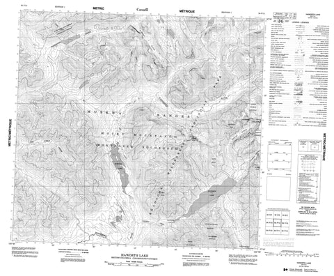
094F14 Haworth Lake Canada topo map, 1:50,000 scale
094F14 Haworth Lake NRCAN topographic map.
Includes UTM and GPS geographic coordinates (latitude and longitude). This 50k scale map is suitable for hiking, camping, and exploring, or you could frame it as a wall map.
Printed on-demand using high resolution, on heavy weight and acid free paper, or as an upgrade on a variety of synthetic materials.
Topos available on paper, Waterproof, Poly, or Tyvek. Usually shipping rolled, unless combined with other folded maps in one order.
- Product Number: NRCAN-094F14
- Parent Topo: TOPO-094F
- Map ID also known as: 094F14, 94F14
- Unfolded Size: Approximately 26" high by 36" wide
- Weight (paper map): ca. 55 grams
- Map Type: POD NRCAN Topographic Map
- Map Scale: 1:50,000
- Geographical region: British Columbia, Canada
Neighboring Maps:
All neighboring Canadian topo maps are available for sale online at 1:50,000 scale.
Purchase the smaller scale map covering this area: Topo-094F
Spatial coverage:
Topo map sheet 094F14 Haworth Lake covers the following places:
- Haworth Falls - Cassiar Land District - Llanberis Glacier - Lloyd George Icefield - McConnell Glacier - Stagnant Glacier - Chesterfield Lake - Haworth Lake - Quentin Lake - Cloudmaker Mountain - Columbine Peak - Dryas Peak - Grey Peak - Little Cloudmaker Mountain - Lupin Ridge - Montagnes Rocheuses - Mount Chesterfield - Mount Glendower - Mount Lloyd George - Muskwa Ranges - Rocky Mountains - Survey Peak - Peace River Regional District - Kwadacha Wilderness Park - Chesterfield Creek - Haworth Creek - Joe Poole Creek - Joepoole Creek - Warneford River - Weissener Creek


