
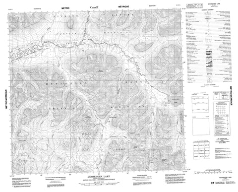
094E11 Moosehorn Lake Canada topo map, 1:50,000 scale
094E11 Moosehorn Lake NRCAN topographic map.
Includes UTM and GPS geographic coordinates (latitude and longitude). This 50k scale map is suitable for hiking, camping, and exploring, or you could frame it as a wall map.
Printed on-demand using high resolution, on heavy weight and acid free paper, or as an upgrade on a variety of synthetic materials.
Topos available on paper, Waterproof, Poly, or Tyvek. Usually shipping rolled, unless combined with other folded maps in one order.
- Product Number: NRCAN-094E11
- Parent Topo: TOPO-094E
- Map ID also known as: 094E11, 94E11
- Unfolded Size: Approximately 26" high by 36" wide
- Weight (paper map): ca. 55 grams
- Map Type: POD NRCAN Topographic Map
- Map Scale: 1:50,000
- Geographical region: British Columbia, Canada
Neighboring Maps:
All neighboring Canadian topo maps are available for sale online at 1:50,000 scale.
Purchase the smaller scale map covering this area: Topo-094E
Spatial coverage:
Topo map sheet 094E11 Moosehorn Lake covers the following places:
- Chukachida Lake - Lower Belle Lake - Midas Lake - Moosehorn Lake - Upper Belle Lake - Breccia Peak - Cassiar Mountains - Claw Mountain - Contact Peak - Harmon Peak - Metsantan Range - Mount McNamara - Omineca Mountains - Peak Range - Stikine Ranges - Peace River Regional District - Spatsizi Plateau Wilderness Park - Abesti Creek - Adoogacho Creek - Belle Creek - Chukachida River - Dedeeya Creek - Dedeeyah Creek - Geese Creek - Harmon Creek - Hiamadam Creek - Junkers Creek - Lunar Creek - McClair Creek - Midas Creek - Moosehorn Creek - Moyez Creek - Straight Pass Creek - Toodoggone River - Tseehee Creek


