
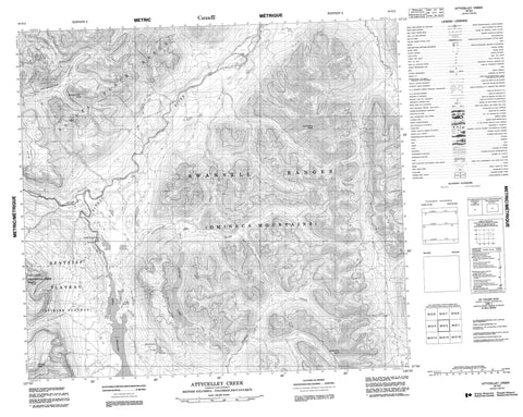
094E02 Attycelley Creek Canada topo map, 1:50,000 scale
094E02 Attycelley Creek NRCAN topographic map.
Includes UTM and GPS geographic coordinates (latitude and longitude). This 50k scale map is suitable for hiking, camping, and exploring, or you could frame it as a wall map.
Printed on-demand using high resolution, on heavy weight and acid free paper, or as an upgrade on a variety of synthetic materials.
Topos available on paper, Waterproof, Poly, or Tyvek. Usually shipping rolled, unless combined with other folded maps in one order.
- Product Number: NRCAN-094E02
- Parent Topo: TOPO-094E
- Map ID also known as: 094E02, 94E2, 94E02
- Unfolded Size: Approximately 26" high by 36" wide
- Weight (paper map): ca. 55 grams
- Map Type: POD NRCAN Topographic Map
- Map Scale: 1:50,000
- Geographical region: British Columbia, Canada
Neighboring Maps:
All neighboring Canadian topo maps are available for sale online at 1:50,000 scale.
Purchase the smaller scale map covering this area: Topo-094E
Spatial coverage:
Topo map sheet 094E02 Attycelley Creek covers the following places:
- Cascadero Falls - Bicknell Lake - Budd Lake - Duncan Lake - Kemess Lake - Stefak Lake - Thutade Lake - Bar Butte - Dennis Peak - Drybrough Peak - Giegerich Peak - Omineca Mountains - Samuel Black Range - Serrated Peak - Swannell Ranges - Thomas Peak - Peace River Regional District - Tatlatui Park - Spatsizi Plateau - Attycelley Creek - East Kemess Creek - Finlay River - Firesteel River - Kemess Creek - South Kemess Creek - West Kemess Creek


