
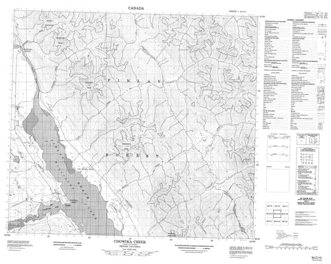
094C15 Chowika Creek Canada topo map, 1:50,000 scale
094C15 Chowika Creek NRCAN topographic map.
Includes UTM and GPS geographic coordinates (latitude and longitude). This 50k scale map is suitable for hiking, camping, and exploring, or you could frame it as a wall map.
Printed on-demand using high resolution, on heavy weight and acid free paper, or as an upgrade on a variety of synthetic materials.
Topos available on paper, Waterproof, Poly, or Tyvek. Usually shipping rolled, unless combined with other folded maps in one order.
- Product Number: NRCAN-094C15
- Parent Topo: TOPO-094C
- Map ID also known as: 094C15, 94C15
- Unfolded Size: Approximately 26" high by 36" wide
- Weight (paper map): ca. 55 grams
- Map Type: POD NRCAN Topographic Map
- Map Scale: 1:50,000
- Geographical region: British Columbia, Canada
Neighboring Maps:
All neighboring Canadian topo maps are available for sale online at 1:50,000 scale.
Purchase the smaller scale map covering this area: Topo-094C
Spatial coverage:
Topo map sheet 094C15 Chowika Creek covers the following places:
- Ingenika Arm - Ingenika Point - Van Somer Point - Police Meadow Indian Reserve 2 - Réserve indienne Police Meadow 2 - Williston Lake - Chowika Mountain - Deception Cone - Deserters Peak - Deserters Range - Finlay Ranges - Montagnes Rocheuses - Muskwa Ranges - Pesika Mountain - Rocky Mountains - Snowtop Peak - Peace River Regional District - Chowika Creek - Deserters Creek - Finlay River - Grahame Creek - Ingenika River - Ivor Creek - Police Creek - Rubyred Creek - Tsay Keh Dene - Deserters Canyon - Rocky Mountain Trench


