
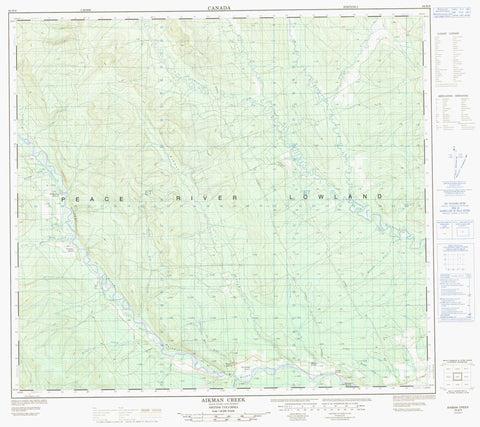
094B09 Aikman Creek Canada topo map, 1:50,000 scale
094B09 Aikman Creek NRCAN topographic map.
Includes UTM and GPS geographic coordinates (latitude and longitude). This 50k scale map is suitable for hiking, camping, and exploring, or you could frame it as a wall map.
Printed on-demand using high resolution, on heavy weight and acid free paper, or as an upgrade on a variety of synthetic materials.
Topos available on paper, Waterproof, Poly, or Tyvek. Usually shipping rolled, unless combined with other folded maps in one order.
- Product Number: NRCAN-094B09
- Parent Topo: TOPO-094B
- Map ID also known as: 094B09, 94B9, 94B09
- Unfolded Size: Approximately 26" high by 36" wide
- Weight (paper map): ca. 55 grams
- Map Type: POD NRCAN Topographic Map
- Map Scale: 1:50,000
- Geographical region: British Columbia, Canada
Neighboring Maps:
All neighboring Canadian topo maps are available for sale online at 1:50,000 scale.
Purchase the smaller scale map covering this area: Topo-094B
Spatial coverage:
Topo map sheet 094B09 Aikman Creek covers the following places:
- Jump Channel - Peace River Land District - Peace River Regional District - Aikman Creek - Blair Creek - Blue Grave Creek - Cab Creek - Cameron River - Cow Creek - Cromie Creek - Dirty Creek - Graham River - Grayling Creek - Gundy Creek - Halfway River - Harold Ellis Creek - Horseshoe Creek - Monteith Creek - Paint Pot Creek - Seventyfour Mile Creek - Townsend Creek - Hickethier Ranch - Kramer Ranch - Lexau Ranch - McKearney Ranch - McLean Ranch - Simpson Ranch - Upper Halfway - Wagner Ranch


