
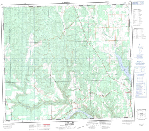
094A06 Bear Flat Canada topo map, 1:50,000 scale
094A06 Bear Flat NRCAN topographic map.
Includes UTM and GPS geographic coordinates (latitude and longitude). This 50k scale map is suitable for hiking, camping, and exploring, or you could frame it as a wall map.
Printed on-demand using high resolution, on heavy weight and acid free paper, or as an upgrade on a variety of synthetic materials.
Topos available on paper, Waterproof, Poly, or Tyvek. Usually shipping rolled, unless combined with other folded maps in one order.
- Product Number: NRCAN-094A06
- Parent Topo: TOPO-094A
- Map ID also known as: 094A06, 94A6, 94A06
- Unfolded Size: Approximately 26" high by 36" wide
- Weight (paper map): ca. 55 grams
- Map Type: POD NRCAN Topographic Map
- Map Scale: 1:50,000
- Geographical region: British Columbia, Canada
Neighboring Maps:
All neighboring Canadian topo maps are available for sale online at 1:50,000 scale.
Purchase the smaller scale map covering this area: Topo-094A
Spatial coverage:
Topo map sheet 094A06 Bear Flat covers the following places:
- Charlie Lake - Fox Slough - Peace River Regional District - Charlie Lake Park - Peace River Lowland - Ardill Creek - Beatton River - Cache Creek - Coffee Creek - East Stoddart Creek - North Cache Creek - Orange Creek - Peace River - Red Creek - Rivière de la Paix - Stoddart Creek - Tea Creek - Wilder Creek - Bear Flat - Mile 62 1/2


