
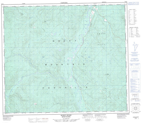
093P05 Burnt River Canada topo map, 1:50,000 scale
093P05 Burnt River NRCAN topographic map.
Includes UTM and GPS geographic coordinates (latitude and longitude). This 50k scale map is suitable for hiking, camping, and exploring, or you could frame it as a wall map.
Printed on-demand using high resolution, on heavy weight and acid free paper, or as an upgrade on a variety of synthetic materials.
Topos available on paper, Waterproof, Poly, or Tyvek. Usually shipping rolled, unless combined with other folded maps in one order.
- Product Number: NRCAN-093P05
- Parent Topo: TOPO-093P
- Map ID also known as: 093P05, 93P5, 93P05
- Unfolded Size: Approximately 26" high by 36" wide
- Weight (paper map): ca. 55 grams
- Map Type: POD NRCAN Topographic Map
- Map Scale: 1:50,000
- Geographical region: British Columbia, Canada
Neighboring Maps:
All neighboring Canadian topo maps are available for sale online at 1:50,000 scale.
Purchase the smaller scale map covering this area: Topo-093P
Spatial coverage:
Topo map sheet 093P05 Burnt River covers the following places:
- Ki-Yian Point - Sukunka Falls - Boulder Lake - Highhat Mountain - Kwoen Hills - Mount Jilg - Mount Linklater - Mount Suprenant - Rocky Mountain Foothills - Peace River Regional District - Sukunka Falls Park - Oetco Flats - Blind Creek - Bluff Creek - Boulder Creek - Brazion Creek - Brush Creek - Burnt River - Dickebusch Creek - Highhat River - Martin Creek - Mink Creek - North Burnt River - Rocky Creek - Skeeter Creek - Sukunka River


