
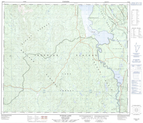
093O03 Tudyah Lake Canada topo map, 1:50,000 scale
093O03 Tudyah Lake NRCAN topographic map.
Includes UTM and GPS geographic coordinates (latitude and longitude). This 50k scale map is suitable for hiking, camping, and exploring, or you could frame it as a wall map.
Printed on-demand using high resolution, on heavy weight and acid free paper, or as an upgrade on a variety of synthetic materials.
Topos available on paper, Waterproof, Poly, or Tyvek. Usually shipping rolled, unless combined with other folded maps in one order.
- Product Number: NRCAN-093O03
- Parent Topo: TOPO-093O
- Map ID also known as: 093O03, 93O3, 93O03
- Unfolded Size: Approximately 26" high by 36" wide
- Weight (paper map): ca. 55 grams
- Map Type: POD NRCAN Topographic Map
- Map Scale: 1:50,000
- Geographical region: British Columbia, Canada
Neighboring Maps:
All neighboring Canadian topo maps are available for sale online at 1:50,000 scale.
Purchase the smaller scale map covering this area: Topo-093O
Spatial coverage:
Topo map sheet 093O03 Tudyah Lake covers the following places:
- Mackenzie - McIntyre Lake 23 - Pack River Indian Reserve 2 - Réserve indienne Pack River 2 - Butternut Lake - Gataiga Lake - Grayling Lake - Lignite Lake - Lions Lake - McIntyre Lake - Modeste Lake - Royer Lake - Sabai Lake - Tudyah Lake - Williston Lake - Mount Scovil - Skog Mountain - Regional District of Bulkley-Nechako - Regional District of Fraser-Fort George - Tudyah Lake Park - Interior Plateau - Nechako Plateau - Scovil Flats - Cross Rapids - August Creek - Buth Creek - Didche Creek - Dors'at Creek - Duane Creek - Gataiga Creek - Holder Creek - Lignite Creek - Mischinsinlika Creek - Pack River - Parsnip River - Reed Creek - Robinson Creek - Scovil Creek - Wheel Creek - Parsnip Reach - Rocky Mountain Trench


