
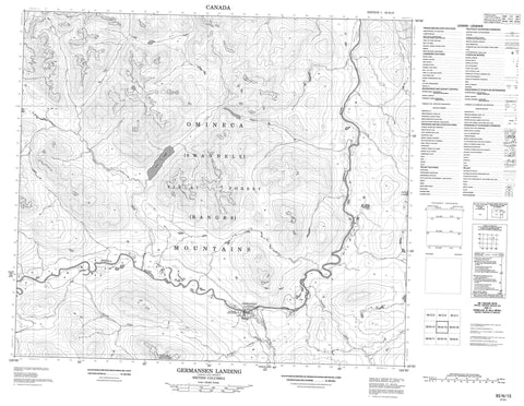
093N15 Germansen Landing Canada topo map, 1:50,000 scale
093N15 Germansen Landing NRCAN topographic map.
Includes UTM and GPS geographic coordinates (latitude and longitude). This 50k scale map is suitable for hiking, camping, and exploring, or you could frame it as a wall map.
Printed on-demand using high resolution, on heavy weight and acid free paper, or as an upgrade on a variety of synthetic materials.
Topos available on paper, Waterproof, Poly, or Tyvek. Usually shipping rolled, unless combined with other folded maps in one order.
- Product Number: NRCAN-093N15
- Parent Topo: TOPO-093N
- Map ID also known as: 093N15, 93N15
- Unfolded Size: Approximately 26" high by 36" wide
- Weight (paper map): ca. 55 grams
- Map Type: POD NRCAN Topographic Map
- Map Scale: 1:50,000
- Geographical region: British Columbia, Canada
Neighboring Maps:
All neighboring Canadian topo maps are available for sale online at 1:50,000 scale.
Purchase the smaller scale map covering this area: Topo-093N
Spatial coverage:
Topo map sheet 093N15 Germansen Landing covers the following places:
- North Tacla Lake Indian Reserve 12 - Réserve indienne North Tacla Lake 12 - Blue Lake - Crater Lake - Echo Lake - Nina Lake - Otter Lakes - Blue Grouse Mountain - Finlay Ranges - Gromet Hill - Hogem Ranges - Mount Kison - Mount Routh - Omineca Mountains - Pillow Ridge - Plughat Mountain - Razorback Mountain - Swannell Ranges - Wolverine Range - Regional District of Bulkley-Nechako - Omineca Park - 3 Mile Creek - Big Creek - Cook Creek - Echo Creek - Evans Creek - Germansen River - Goat Creek - Henschel Creek - Jackfish Creek - Nina Creek - Omineca River - Plughat Creek - Porter Creek - Rose Creek - Wendy Creek - 12 Mile - Germansen Landing


