
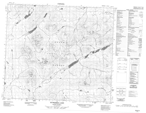
093N12 Humphrey Lake Canada topo map, 1:50,000 scale
093N12 Humphrey Lake NRCAN topographic map.
Includes UTM and GPS geographic coordinates (latitude and longitude). This 50k scale map is suitable for hiking, camping, and exploring, or you could frame it as a wall map.
Printed on-demand using high resolution, on heavy weight and acid free paper, or as an upgrade on a variety of synthetic materials.
Topos available on paper, Waterproof, Poly, or Tyvek. Usually shipping rolled, unless combined with other folded maps in one order.
- Product Number: NRCAN-093N12
- Parent Topo: TOPO-093N
- Map ID also known as: 093N12, 93N12
- Unfolded Size: Approximately 26" high by 36" wide
- Weight (paper map): ca. 55 grams
- Map Type: POD NRCAN Topographic Map
- Map Scale: 1:50,000
- Geographical region: British Columbia, Canada
Neighboring Maps:
All neighboring Canadian topo maps are available for sale online at 1:50,000 scale.
Purchase the smaller scale map covering this area: Topo-093N
Spatial coverage:
Topo map sheet 093N12 Humphrey Lake covers the following places:
- Akus Lake - Beaverpond Lakes - Byrnes Lake - Diver Lake - Fable Lake - Humphrey Lake - Silver Lake - Tom Lake - Diver Peak - Hogem Ranges - Mount Bodine - Mount Grant - Mount Tom - Omineca Mountains - Red Slide Peak - Redslide Peak - Sitlika Range - Vital Mountains - Vital Range - Regional District of Bulkley-Nechako - Nechako Plateau - Alice Creek - Beaverpond Creek - Fall River - Harrison Creek - Hudson Bay Creek - Humphrey Creek - Kelly Creek - Kenny Creek - Quartzite Creek - Teegee Creek - Tom Creek - West Kwanika Creek - Gem Pass - Hogem Pass - Lyons Gulch


