
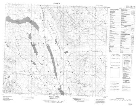
093N06 Indata Lake Canada topo map, 1:50,000 scale
093N06 Indata Lake NRCAN topographic map.
Includes UTM and GPS geographic coordinates (latitude and longitude). This 50k scale map is suitable for hiking, camping, and exploring, or you could frame it as a wall map.
Printed on-demand using high resolution, on heavy weight and acid free paper, or as an upgrade on a variety of synthetic materials.
Topos available on paper, Waterproof, Poly, or Tyvek. Usually shipping rolled, unless combined with other folded maps in one order.
- Product Number: NRCAN-093N06
- Parent Topo: TOPO-093N
- Map ID also known as: 093N06, 93N6, 93N06
- Unfolded Size: Approximately 26" high by 36" wide
- Weight (paper map): ca. 55 grams
- Map Type: POD NRCAN Topographic Map
- Map Scale: 1:50,000
- Geographical region: British Columbia, Canada
Neighboring Maps:
All neighboring Canadian topo maps are available for sale online at 1:50,000 scale.
Purchase the smaller scale map covering this area: Topo-093N
Spatial coverage:
Topo map sheet 093N06 Indata Lake covers the following places:
- Albert Lake - Calais Lake - Dia Lake - Dukaihoonli Lake - Electra Lake - Indata Lake - Tchentlo Lake - Tsayta Lake - Hogem Ranges - Kwanika Mountains - Kwanika Range - Kwun Yótasi Range - Limestone Ridge - Mitchell Range - Mount Nation - Nation Mountain - Omineca Mountains - Sawtooth Mountain - Sedlo Ti Range - Regional District of Bulkley-Nechako - Ahdatay Creek - Albert Creek - Brûlé Creek - Fish Creek - Halobia Creek - Kwanika Creek - Nation River - Rottacker Creek


